If you have any questions, you are always welcome to contact us. We'll get back to you as soon as possible, within 24 hours on weekdays.
-
Shipping Information
We offer reliable shipping across the United States. Orders over $599 qualify for free standard shipping.
Shipping options and estimated delivery times are shown at checkout and may vary by product and destination.
Products containing lithium-ion batteries may be subject to special shipping and carrier requirements.
For large equipment or enterprise orders, please contact our sales team for shipping assistance.
-
Customer Support
Need help choosing the right product, checking an order, or troubleshooting a product?
Our team can assist with product selection, order status, shipping, warranty, technical support, and general product questions.
Sales & Product Inquiries
Phone: +1 (888) 356-6818
Email: sales@droneroboticstec.comTechnical Support
+1 (888) 356-6818 Ext. 804 — Christopher
+1 (888) 356-6818 Ext. 806 — LucasWorking Hours
Mon–Fri: 9:00 AM–5:00 PM PST -
Contact Us
Have a question before placing an order?
Contact our sales team for product recommendations, availability, pricing, enterprise solutions, and bulk orders.
Sales Team
Phone: +1 (888) 356-6818
Email: sales@droneroboticstec.comFor enterprise, commercial, bulk, or dealer inquiries, we're happy to help you find the right solution.
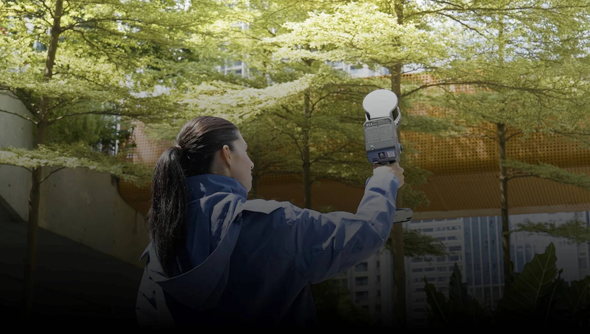
More reach for the bigger picture.
Choose a channel and range configuration for building documentation, larger sites and mapping workflows. Add an RTK module when your project calls for a georeferenced capture plan.
Specifications
- Primary workflow
- Building documentation and site point clouds
- LiDAR configuration
- 16/120 m, 32/120 m or 32/300 m
- Relative accuracy¹
- 1 cm RMSE, post-processed
- Absolute accuracy¹
- 3 cm RMSE with RTK or control points
- RTK
- Optional module
- Monitoring
- Phone-based field workflow
- Storage
- 1 TB SSD
- Operating time²
- Up to 1.5 hours
- Weight²
- 1.7 kg stated by manufacturer; kit weight varies
- Protection
- IP54
¹ Manufacturer relative accuracy is measured between points less than 100 m apart. Absolute accuracy depends on RTK or control points and the stated test conditions, including RTK interruption distances below 100 m. Range depends on reflectivity and the selected configuration. ² Actual runtime and carried weight vary.
Package and software
Standard includes one battery, charger, phone mount, GCP collection plate, protective cover, USB-C cable, cleaning cloth and hard case. Premium adds a second battery. Full includes two batteries plus Standard and Survey-Grade RTK modules. Each package includes three perpetual LixelStudio activations and LCC Studio Basic. LCC Studio Premium is a separate software choice.