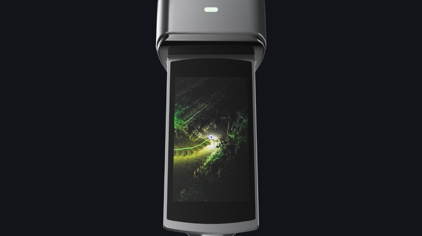
See your scan as you work.
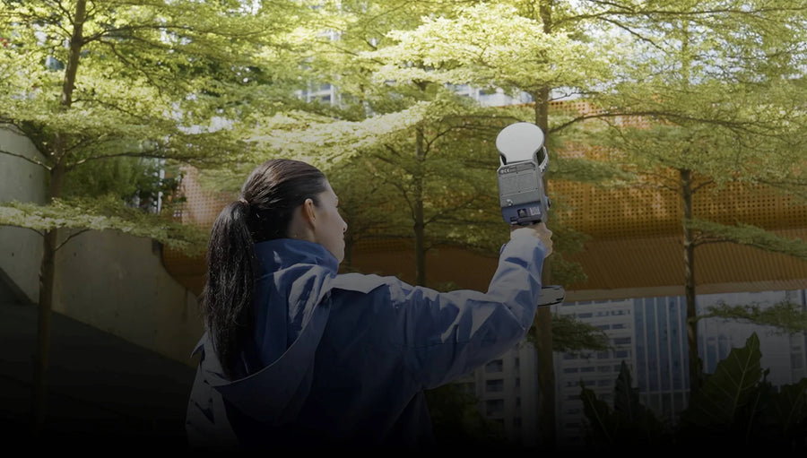
Check the capture on the integrated touchscreen, with built-in RTK for supported outdoor positioning workflows.
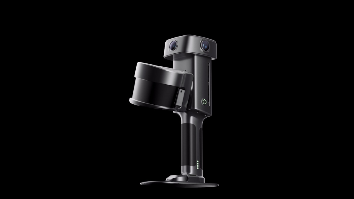
OUR FEATURED SPATIAL SCANNER
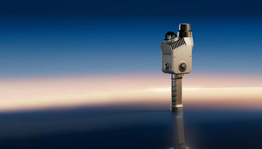
A complete handheld workflow for engineering geometry and immersive 3D experiences.
LIXEL L3
Integrated positioning, an on-device display and a field-ready scanning workflow.
Check the capture on the integrated touchscreen, with built-in RTK for supported outdoor positioning workflows.
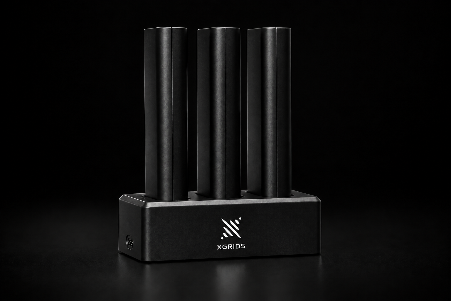
Swap batteries between sessions and build a kit around the way you capture.
FROM SITE TO SCREEN
Choose the deliverable first, then the processing workflow.
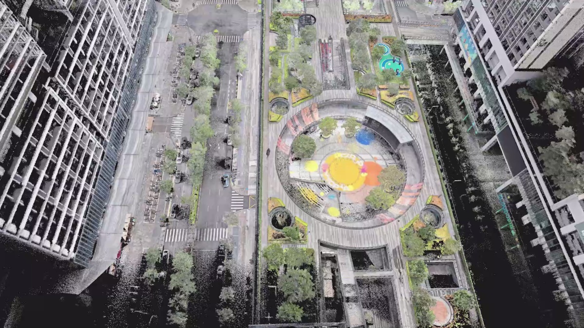
Colorized point clouds for measuring and documenting existing spaces. CAD/BIM modeling is a downstream step.
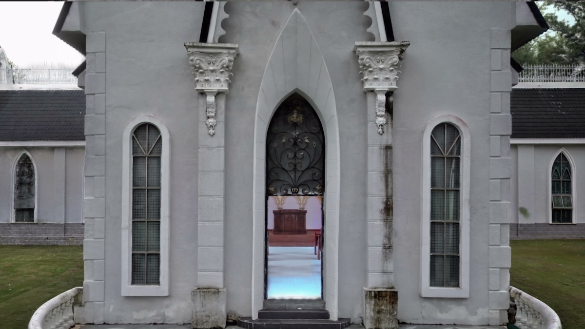
3D Gaussian-splat scenes for visual reviews, virtual tours and location archives.
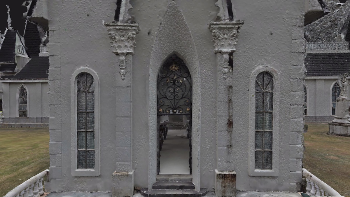
Textured meshes for compatible 3D workflows and scene development.
Official XGRIDS capture examples. Processing and license requirements vary by output.
XGRIDS / DRT
Start with L3, or compare the other systems for your project.
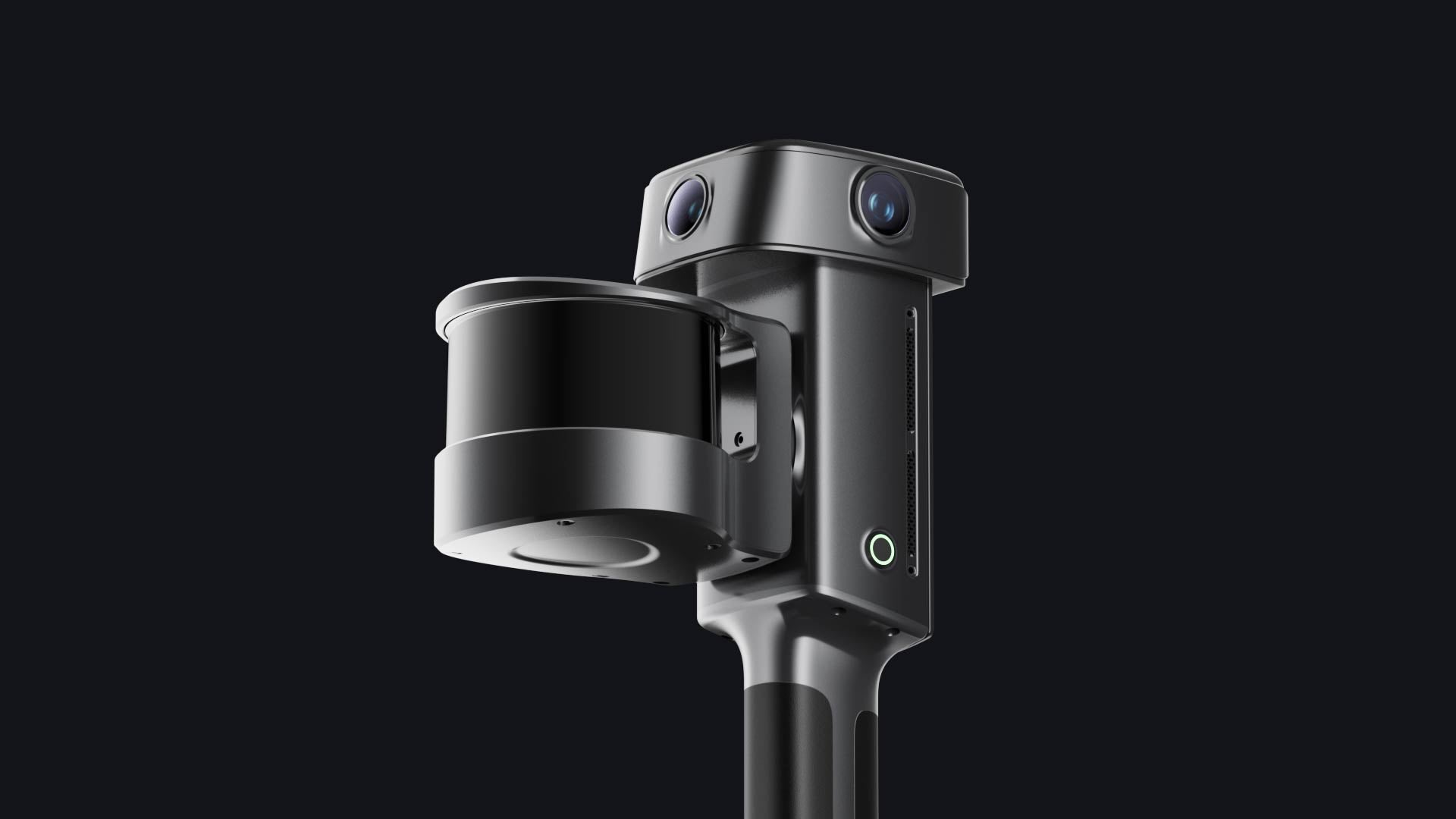
INTEGRATED FIELD CAPTURE
Detailed building and industrial capture
FLEXIBLE RANGE
Larger sites and configurable range
LIGHTWEIGHT FIELD WORK
Mobile teams and frequent capture
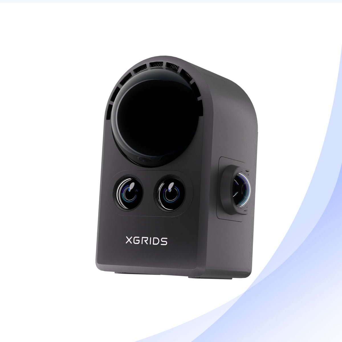
IMMERSIVE SPATIAL CAMERA
Walkthroughs, visual archives and creative work
Software
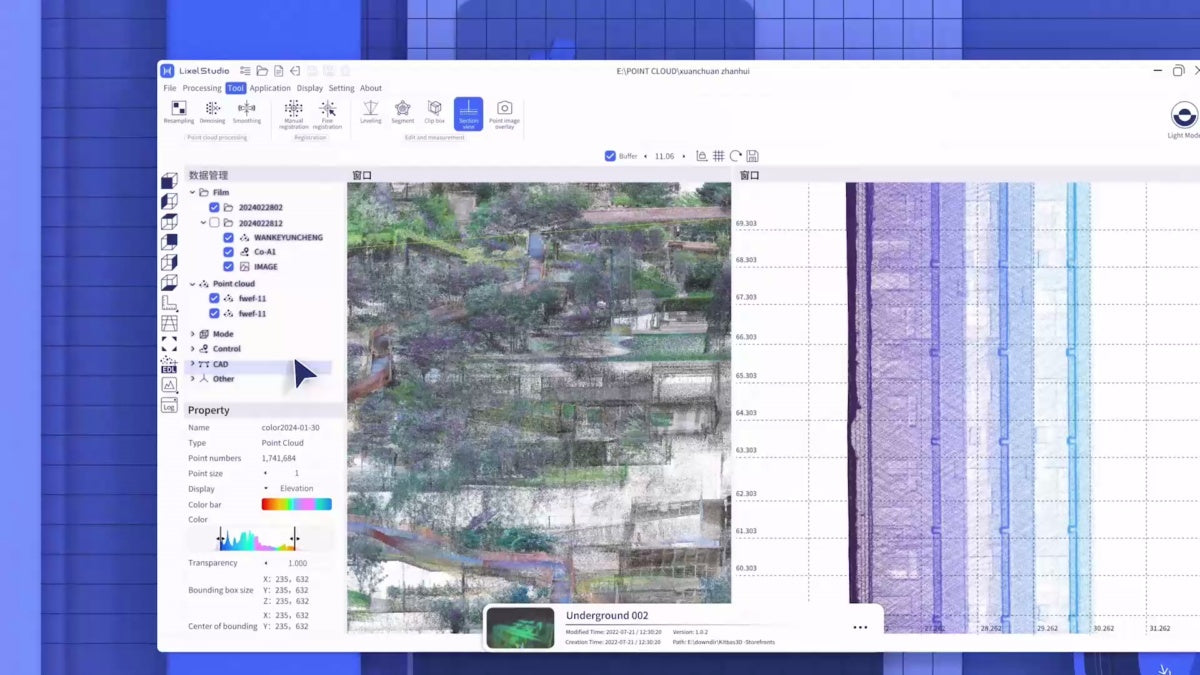
LixelStudio for point clouds and meshes. LCC Studio for supported 3D Gaussian-splat workflows.
Compare systems, choose accessories, or discuss a capture project with DRT.