

Surveying & mapping
DJI Matrice 4E
Build your mapping kit around the Matrice 4E and its compatible field accessories.
From $4,989.00 USD
Choose configurationDJI / Enterprise
Mapping, inspection and remote operations.
Explore productsDJI Enterprise software ↓Delivery ›
Surveying & mapping
Build your mapping kit around the Matrice 4E and its compatible field accessories.
From $4,989.00 USD
Choose configuration
Surveying & mapping
Build your mapping kit around the Matrice 4E and its compatible field accessories.
From $4,989.00 USD
Choose configuration
Thermal inspection
A thermal drone platform for inspection and public-safety workflows.
From $7,849.00 USD
Choose configuration
Enterprise flight
Choose an aircraft or controller bundle for your operational workflow.
From $5,500.00 USD
Choose configuration
Thermal operations
Explore aircraft and controller configurations for your thermal operations.
From $7,640.00 USD
Choose configuration
Heavy-duty platform
Build an enterprise platform around your mission, payload and power needs.
From $9,788.00 USD
Choose configuration
Agricultural mapping
Connect aerial data with decisions on the ground.
From $5,729.00 USD
Choose configuration
Remote operations
Plan a remote-flight setup with a dock and the matching aircraft configuration.
From $15,890.00 USD
Choose configuration
LiDAR payload
Extend your aerial mapping workflow with a dedicated LiDAR payload.
From $17,400.00 USD
Choose configuration
Imaging payload
A multi-sensor payload for enterprise inspection workflows.
From $4,350.00 USD
Choose configuration
Mapping payload
A full-frame camera payload for aerial surveying and mapping.
From $7,630.00 USD
Choose configurationNo matching products. Try another search.
Aerial logistics
Build your aerial delivery setup.

Aerial delivery
Explore an aerial logistics platform and its delivery accessories.
From $21,818.00 USD
Choose configuration
Turn aerial imagery and LiDAR data into maps and 3D models.
Explore software →
Edit and refine 3D mesh models and point clouds.
Explore software →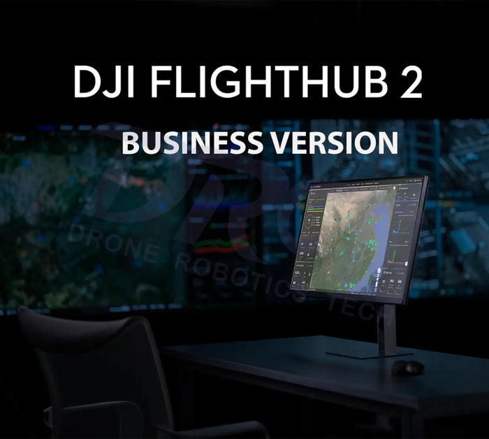
Plan missions, coordinate teams and manage remote operations.
Explore software →
Plan and manage aerial delivery workflows.
Explore software →Support & resources
Tell us what you want to capture, inspect or accomplish. DRT can help you choose the platform and accessories for the job.
Get help choosing a package, checking compatibility or planning a field-ready setup.
Find official user manuals, firmware and software for your model.