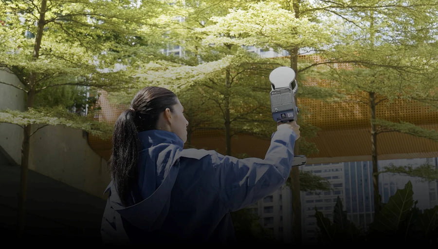
INTEGRATED FIELD CAPTURE
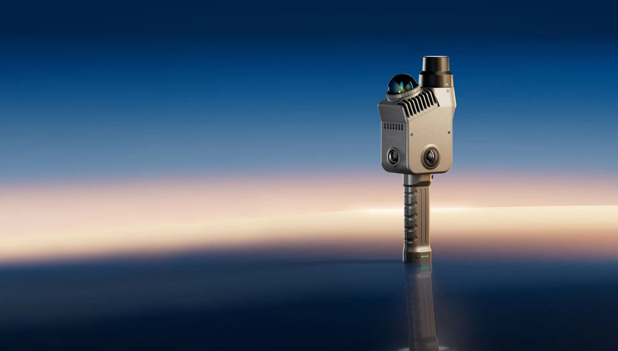
Lixel L3
Detailed building and industrial capture
- 120 m maximum
- RTK: Built in
From $28,699.00 USD
Explore & configure 
XGRIDS AT DRT
Discover XGRIDS scanners, spatial cameras and software. Build your capture workflow with DRT.
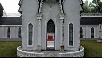
Manufacturer imagery and output examples; not DRT client project results.
CHOOSE WITH CONFIDENCE
Start with your deliverable, or put your shortlist side by side.
Answer three questions about your output, site and workflow to find a starting point.
Find my scanner Compare productsSee L3, L2 Pro, K2 and PortalCam side by side, with the differences that affect your work.
Open full comparisonScanners & cameras
Four systems, different strengths. Match your deliverable first, then choose your hardware, software and field accessories.
INTEGRATED FIELD CAPTURE
Detailed building and industrial capture
FLEXIBLE RANGE
Larger sites and configurable range
LIGHTWEIGHT FIELD WORK
Mobile teams and frequent capture
IMMERSIVE SPATIAL CAMERA
Walkthroughs, visual archives and creative work
Compare devices
Start with the essentials below. Open the full comparison to choose models, show differences and review the details.
| Device |  Lixel L3 |  Lixel L2 Pro |  Lixel K2 |  PortalCam |
|---|---|---|---|---|
| Best suited to | Detailed building and industrial capture | Larger sites and configurable range | Mobile teams and frequent capture | Walkthroughs, visual archives and creative work |
| Maximum LiDAR range | 120 m maximum | 120 m or 300 m by configuration | 100 m max / 40 m at 10% reflectivity | 30 m at 10% / 60 m at 90% reflectivity |
| RTK positioning | Built in | Optional module | Built in | No built-in RTK mapping workflow |
| Output workflow | Point cloud / mesh / 3DGS | Point cloud / mesh / 3DGS | Point cloud / mesh / 3DGS | 3DGS / immersive presentation |
| Configure package | Lixel L3 | Lixel L2 Pro | Lixel K2 | PortalCam |
Swipe across on smaller screens. Open the full comparison for accuracy conditions, weight, cameras and software.
START WITH THE RESULT
A visual experience and engineering geometry serve different purposes. Choose the workflow your customer needs.

Geometry for existing-condition documentation, measurement and design reference.
Models to consider
Lixel L3 · L2 Pro · K2Define accuracy, coordinates and output format before selecting the scanner. CAD/BIM modeling is a separate downstream step.
Compare suitable models
Photorealistic walkthroughs for property presentation, creative work and visual archives.
Models to consider
PortalCam · Lixel L3 · L2 Pro · K2PortalCam focuses on immersive 3DGS experiences. Choose a Lixel scanner when the same project also needs engineering geometry.
Compare suitable models
Surface models for visualization and compatible downstream 3D tools.
Models to consider
Lixel L3 · L2 Pro · K2Use a reconstructed surface for compatible 3D workflows. Confirm the receiving software and quality requirements before capture.
Compare suitable modelsManufacturer imagery and output examples; not DRT client project results.
Software
Process point clouds, build 3D experiences, or do both.
POINT-CLOUD PROCESSING
Point-cloud processing and export
Included with eligible scanners
Explore & configureDRT capture services
On-site reality capture for buildings, facilities and immersive experiences. Define the result with DRT, from field capture to your agreed digital deliverables.
Plan a scanning projectExplore XGRIDS
Build a capture kit, compare your options, or have DRT capture the site for you.