

If you have any questions, you are always welcome to contact us. We'll get back to you as soon as possible, within 24 hours on weekdays.
-
Shipping Information
We offer reliable shipping across the United States. Orders over $599 qualify for free standard shipping.
Shipping options and estimated delivery times are shown at checkout and may vary by product and destination.
Products containing lithium-ion batteries may be subject to special shipping and carrier requirements.
For large equipment or enterprise orders, please contact our sales team for shipping assistance.
-
Customer Support
Need help choosing the right product, checking an order, or troubleshooting a product?
Our team can assist with product selection, order status, shipping, warranty, technical support, and general product questions.
Sales & Product Inquiries
Phone: +1 (888) 356-6818
Email: sales@droneroboticstec.comTechnical Support
+1 (888) 356-6818 Ext. 804 — Christopher
+1 (888) 356-6818 Ext. 806 — LucasWorking Hours
Mon–Fri: 9:00 AM–5:00 PM PST -
Contact Us
Have a question before placing an order?
Contact our sales team for product recommendations, availability, pricing, enterprise solutions, and bulk orders.
Sales Team
Phone: +1 (888) 356-6818
Email: sales@droneroboticstec.comFor enterprise, commercial, bulk, or dealer inquiries, we're happy to help you find the right solution.
FJD Trion EG10
A wireless, modular excavator guidance system designed to bring precise positioning, elevation, alignment, and slope guidance directly into excavation workflows.
Bring Digital Design Into the Excavator Cab
FJD Trion EG10 combines GNSS positioning, machine sensors, visual guidance, and field software to help excavator operators work from digital design information directly on the machine.
Its modular wireless architecture allows the system to be transferred between supported machines, making it suitable for contractors working across different projects, crews, and excavation tasks.
- Centimeter-level positioning for excavation guidance
- Real-time machine position and status
- AR overlay for design lines and bucket paths
- Leveling, line guidance, and slope formation
- Support for common engineering design file formats
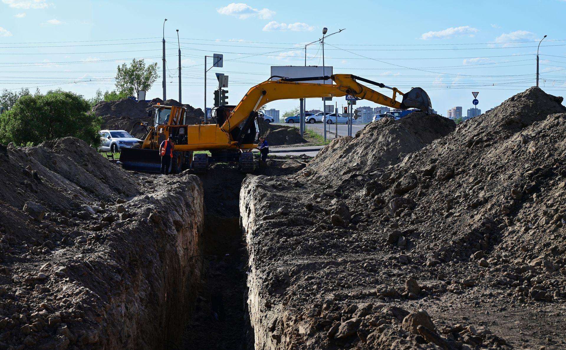
Follow Digital Alignments Directly on Site
Define a straight alignment and target elevation in the software to guide excavation work along a planned line.
This workflow is particularly useful for trenches, channels, drainage pipelines, and other projects where consistent alignment and elevation are critical.
- Define alignment digitally
- Set target elevation
- View guidance information in the cab
- Reduce repeated manual checking

Maintain Consistent Target Elevation
EG10 allows operators to work toward a defined target elevation, helping maintain consistent surfaces across larger excavation and grading areas.
The workflow can support land leveling, factory site grading, field preparation, sludge cleanup, and other earthmoving tasks.
- Set a unified target elevation
- Real-time machine positioning
- Designed for large-area grading workflows
- Useful for agricultural and construction sites
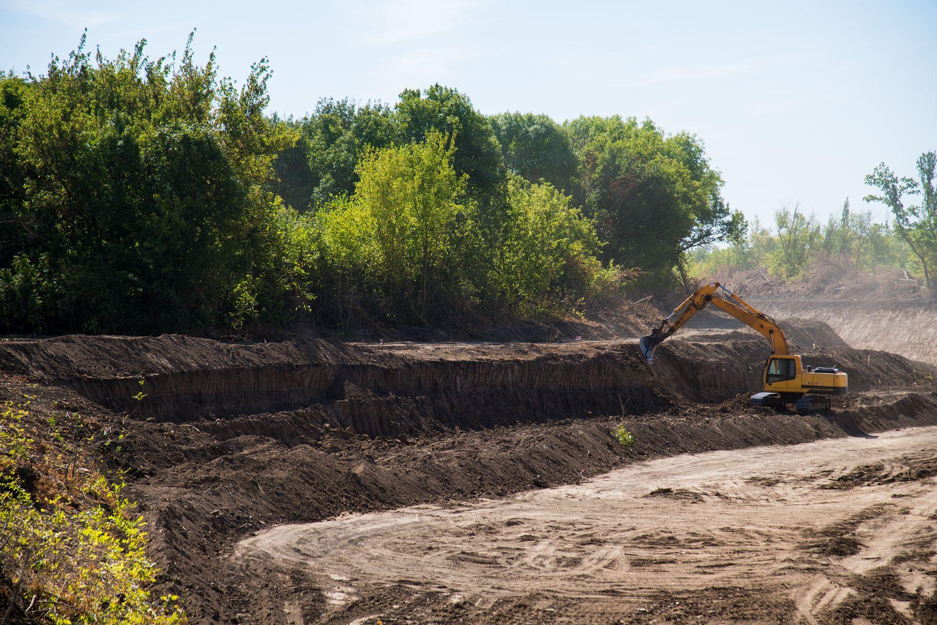
Build Slopes With Digital Guidance
Software-defined longitudinal and cross slopes provide digital guidance for controlled slope formation.
EG10 is designed to support applications such as embankments, riverbanks, roadbeds, and other projects where slope geometry needs to follow a defined design.
- Set longitudinal slope
- Set cross slope
- Follow digital slope parameters
- Support one-pass slope formation workflows

See Design Information Where You Work
AR Guidance overlays design lines and bucket paths on the live camera view, giving operators a visual reference for excavation tasks.
By connecting digital design information with the machine's live view, EG10 helps operators interpret planned excavation geometry directly from the cab.
- Live camera-based guidance
- Design line overlay
- Bucket path visualization
- Clearer connection between design and field execution
From Project Data to Machine Guidance
FJD Trion EG10 connects digital project data with real-time machine guidance, helping operators move from engineering drawings to precise field execution.

6,000+ Global Coordinate Systems
EG10 supports more than 6,000 predefined coordinate systems worldwide. Grid and geoid models can be downloaded online for setup in new working areas.
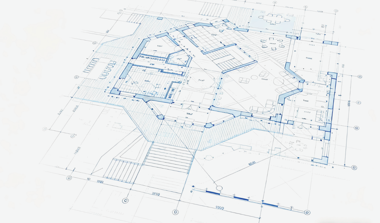
Multi-Layer Design Support
Work with multiple layers and common engineering file formats for complex project drawings.
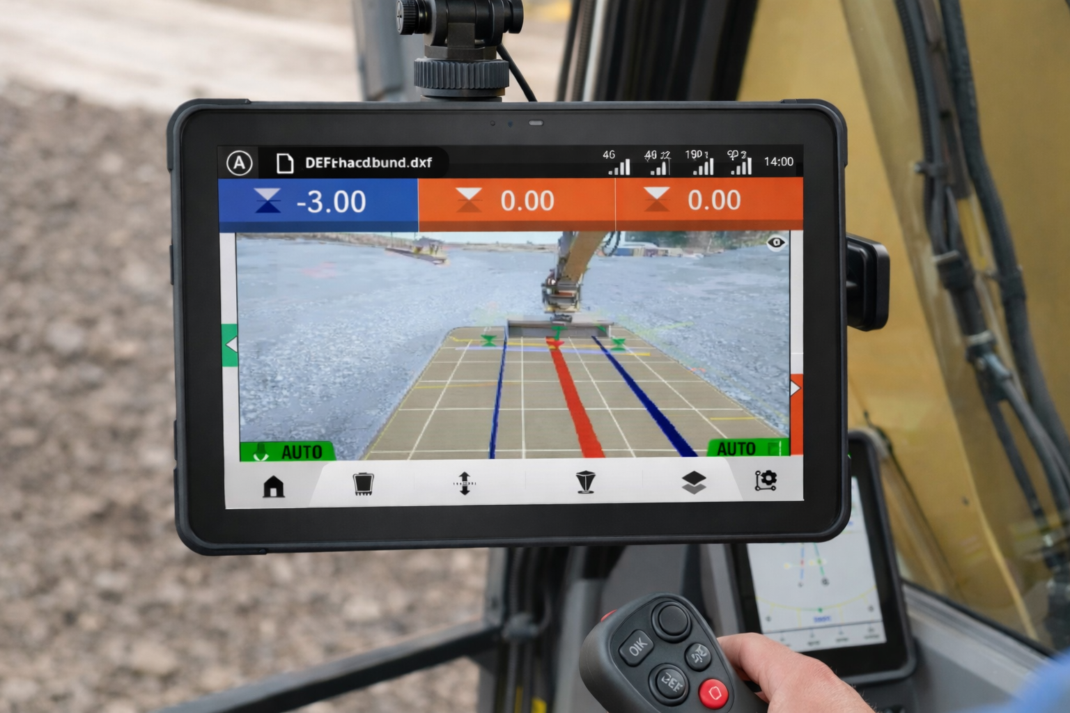
Real-Time Machine Status
View machine location and status in real time to support project monitoring, schedule tracking, and field coordination.
 Cloud-Connected Workflow
Sync design and field data through the cloud to help keep office and site workflows aligned.
Built for Diverse Excavation Workflows
From drainage and road construction to land preparation and solar projects, EG10 brings digital guidance to a wide range of earthmoving applications.

Farmland Drainage & Channel Construction
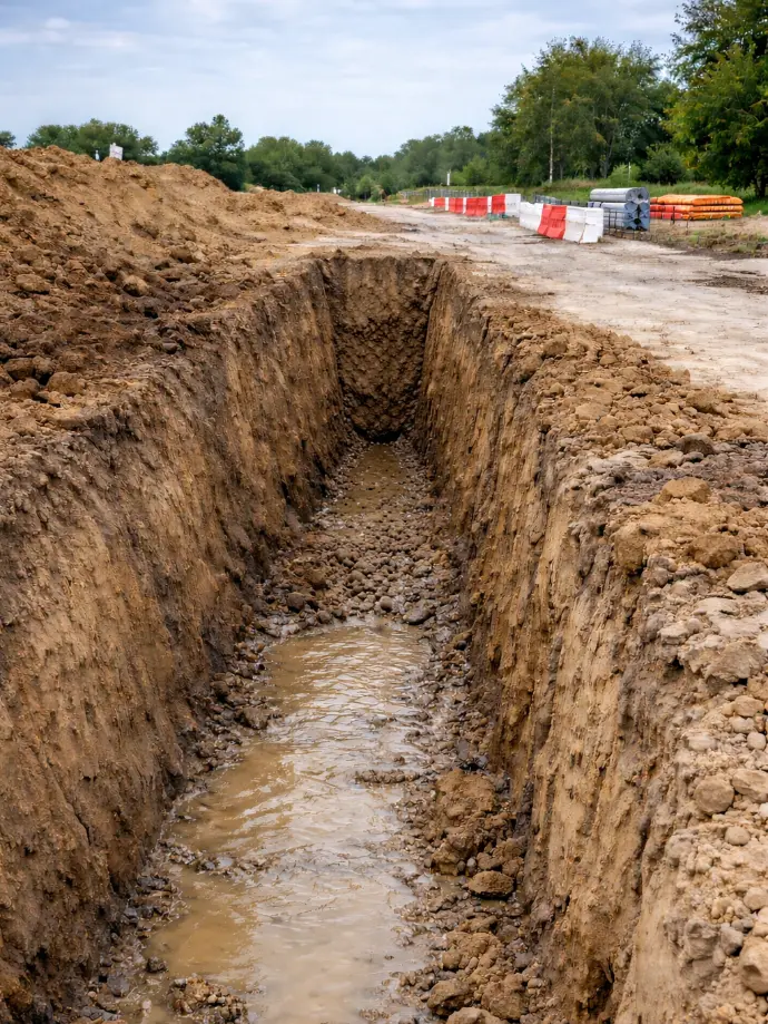
Road Alignment & Drainage Construction

Land Leveling & Field Preparation

Slope & Embankment Construction

Roadbed & Subgrade Construction

Solar PV Pile Layout & Installation
FJD Trion EG10 Specifications
Key technical specifications for the EG10 guidance system, GNSS hardware, IMU, tablet, and installation components.
| Product | FJD Trion EG10 Excavator Guidance System |
|---|---|
| Positioning Accuracy | ±3 cm, with tilt ≤60° from vertical |
| GNSS Channels | 1408 channels |
| GPS | L1C/A, L1C, L2P(Y), L2C, L5 |
| GLONASS | G1, G2, G3 |
| BeiDou | B1I, B2I, B3I, B1C, B2a, B2b |
| Galileo | E1, E5a, E5b, E6 |
| QZSS | L1C/A, L1C, L2C, L5, L6* |
| SIM Card | Nano SIM |
| Network Modem | TDD-LTE, FDD-LTE, WCDMA, EDGE, GPRS, GSM |
| Wi-Fi | 2.4 & 5 GHz, 802.11a/b/g/n/ac |
| Bluetooth | BT 4.2 & BLE |
| Built-in UHF Radio | TRIMTALK, TRIMMARK III, TT450S, TRANSEOT, Satel 3AS 4FSK, LoRa |
| UHF Range | Typical 6–12 km; up to 16 km under optimal conditions |
| Internal Storage | 32 GB |
| Camera | Forward: 5 MP Downward: 5 MP |
| Camera Field of View | 83° |
| Operating Temperature | -35°C to +65°C |
| Storage Temperature | -40°C to +70°C |
| Ingress Protection | IP68 |
| External Power Input | 9–28 V DC |
| GNSS Receiver Dimensions | 130 × 68 mm |
| GNSS Receiver Weight | Approximately 800 g |
| GNSS Receiver Operating Time | Rover: 15 h Base: 10 h |
| IMU Battery | 3.7 V / 7000 mAh |
| IMU Operating Time | Up to 24 h continuous operation; up to 72 h typical use |
| IMU Bluetooth | BLE 5.1 |
| Tablet | T10, 10-inch IPS display, 1280 × 800 |
| Tablet Operating System | Android 15 |
| Tablet Memory | 4 GB RAM + 64 GB ROM |
| Tablet Weight | <700 g |
| Tablet Protection | IP66 |
| GNSS Receiver Installation Kit | 201.5 × 203.5 mm; approximately 0.787 kg |