
If you have any questions, you are always welcome to contact us. We'll get back to you as soon as possible, within 24 hours on weekdays.
-
Shipping Information
We offer reliable shipping across the United States. Orders over $599 qualify for free standard shipping.
Shipping options and estimated delivery times are shown at checkout and may vary by product and destination.
Products containing lithium-ion batteries may be subject to special shipping and carrier requirements.
For large equipment or enterprise orders, please contact our sales team for shipping assistance.
-
Customer Support
Need help choosing the right product, checking an order, or troubleshooting a product?
Our team can assist with product selection, order status, shipping, warranty, technical support, and general product questions.
Sales & Product Inquiries
Phone: +1 (888) 356-6818
Email: sales@droneroboticstec.comTechnical Support
+1 (888) 356-6818 Ext. 804 — Christopher
+1 (888) 356-6818 Ext. 806 — LucasWorking Hours
Mon–Fri: 9:00 AM–5:00 PM PST -
Contact Us
Have a question before placing an order?
Contact our sales team for product recommendations, availability, pricing, enterprise solutions, and bulk orders.
Sales Team
Phone: +1 (888) 356-6818
Email: sales@droneroboticstec.comFor enterprise, commercial, bulk, or dealer inquiries, we're happy to help you find the right solution.
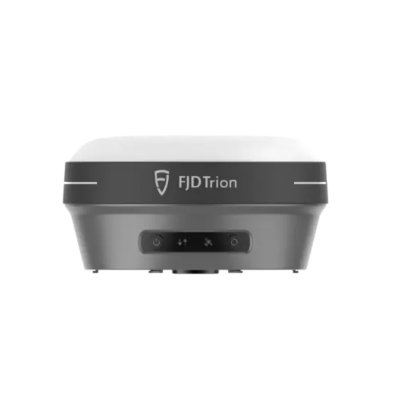
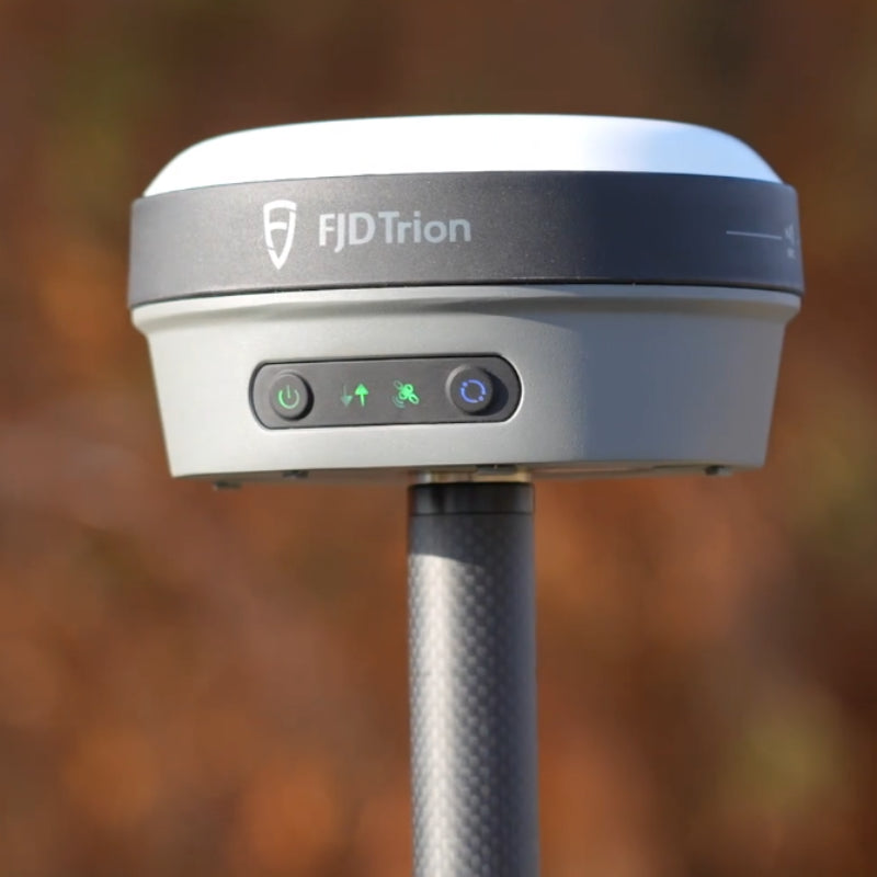
FJD Trion V10a
RTK System with AR Stakeout
High-precision GNSS positioning combined with intuitive AR stakeout and tilt surveying for faster, more efficient field workflows.
Precision Positioning Meets Intuitive Stakeout
The FJD Trion V10a is a professional RTK GNSS system designed to simplify high-precision surveying and field stakeout. With high-performance GNSS positioning, tilt compensation, and AR-based visual guidance, V10a helps surveyors work efficiently without constantly relying on conventional point-by-point workflows.
Designed to Make Field Surveying More Efficient
V10a combines positioning accuracy, visual guidance, and rugged field hardware in one professional RTK surveying solution.

Survey Without Keeping the Pole Perfectly Vertical
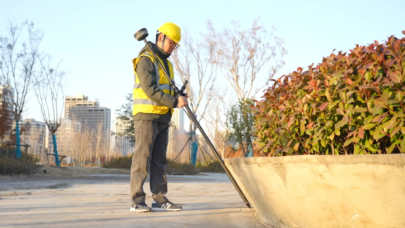
V10a supports tilt surveying up to 60°, allowing surveyors to capture points in situations where keeping a conventional GNSS pole vertical is difficult.
- Up to 60° tilt survey capability
- Improved access to difficult-to-reach points
- Reduced need for perfectly vertical pole positioning
- Useful for obstacles, slopes, edges, and constrained spaces
- Designed for faster field data collection
Built for Professional Field Work
V10a can support a broad range of surveying, mapping, and construction-related workflows.
Cadastral Surveying
Collect high-precision boundary and land information efficiently.
Construction Surveying
Support positioning, layout, and site measurement throughout construction projects.
Topographic Surveying
Capture accurate field data for terrain and site mapping.
Road & Bridge Surveying
Support infrastructure measurement and positioning in complex field environments.
River & Coastline Surveying
Improve field access and positioning when surveying challenging terrain and boundaries.
Utility Surveying
Support positioning and field documentation for infrastructure and utility projects.
Rugged Hardware for Demanding Environments
From construction sites to outdoor surveying projects, V10a is designed to withstand everyday field conditions.
IP68 Protection
Protection against dust and water ingress for demanding outdoor operating conditions.
2 m Pole Drop
Designed to withstand specified pole-drop conditions of up to 2 meters.
Compact Form Factor
Approximately 800 g and designed for comfortable field handling during extended surveying sessions.
FJD Trion V10a Technical Specifications
Choose the Right V10 RTK System
The V10 family combines high-precision GNSS positioning with different field measurement technologies to match different surveying workflows.
Feature |
V10a |
|
|
|---|---|---|---|
| Core Technology | AR Stakeout | Visual Positioning | Laser Measurement |
| High-Precision RTK | ✓ | ✓ | ✓ |
| AR Stakeout | ✓ | ✓ | ✓ |
| Tilt Survey | ✓ | ✓ | ✓ |
| Visual Measurement | — | ✓ | V10Li |
| Laser Measurement | — | — | ✓ |
| Recommended Focus | AR-assisted stakeout | Visual measurement | Non-contact laser measurement |


