
DJI / STORIES & APPLICATIONS
Finding hidden hotspots after a wildfire
Crews need to locate residual heat across burned terrain during wildfire cleanup.
- Brand
- DJI
- Article type
- Customer story
- Setting
- Ventura County, California
- Equipment
- DJI Matrice 4T
- Source date
- 2025-07-18
The work after containment
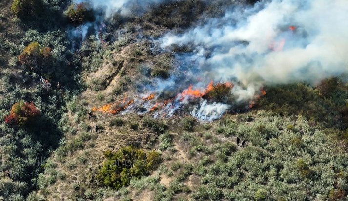
DJI’s account of the Ventura County Fire Department focuses on mop-up: finding residual heat after the main flames have been contained. Ground teams must identify areas that could require further attention across burned terrain. The case describes using Matrice 4T thermal and visual imagery to give those teams a clearer view.
From a flight area to a shared map
The department organizes the work into planning, collection and analysis. It defines an area from the fire perimeter and terrain, collects thermal and visual images along a planned route, and processes the data with tools including Nova Maps. The account describes applying the workflow during the Kenneth Fire and sharing georeferenced information with crews.
What the case demonstrates
The operational value comes from connecting an observation to a location and then to a ground response. It is a documented department workflow, not a guarantee that a thermal image alone can confirm an area is safe.
Planning a comparable data workflow
DRT recommends defining how an aerial finding reaches the person making the field decision. Agree on the location format, the map or image delivered, and how the observation is acknowledged and checked. Include battery rotation, data transfer and the operator’s reporting task in the demonstration. A useful evaluation follows one finding all the way from the aircraft to the team receiving it. That reveals whether the equipment fits the department’s actual process, rather than only demonstrating that it can capture a clear image.