
If you have any questions, you are always welcome to contact us. We'll get back to you as soon as possible, within 24 hours on weekdays.
-
Shipping Information
We offer reliable shipping across the United States. Orders over $599 qualify for free standard shipping.
Shipping options and estimated delivery times are shown at checkout and may vary by product and destination.
Products containing lithium-ion batteries may be subject to special shipping and carrier requirements.
For large equipment or enterprise orders, please contact our sales team for shipping assistance.
-
Customer Support
Need help choosing the right product, checking an order, or troubleshooting a product?
Our team can assist with product selection, order status, shipping, warranty, technical support, and general product questions.
Sales & Product Inquiries
Phone: +1 (888) 356-6818
Email: sales@droneroboticstec.comTechnical Support
+1 (888) 356-6818 Ext. 804 — Christopher
+1 (888) 356-6818 Ext. 806 — LucasWorking Hours
Mon–Fri: 9:00 AM–5:00 PM PST -
Contact Us
Have a question before placing an order?
Contact our sales team for product recommendations, availability, pricing, enterprise solutions, and bulk orders.
Sales Team
Phone: +1 (888) 356-6818
Email: sales@droneroboticstec.comFor enterprise, commercial, bulk, or dealer inquiries, we're happy to help you find the right solution.
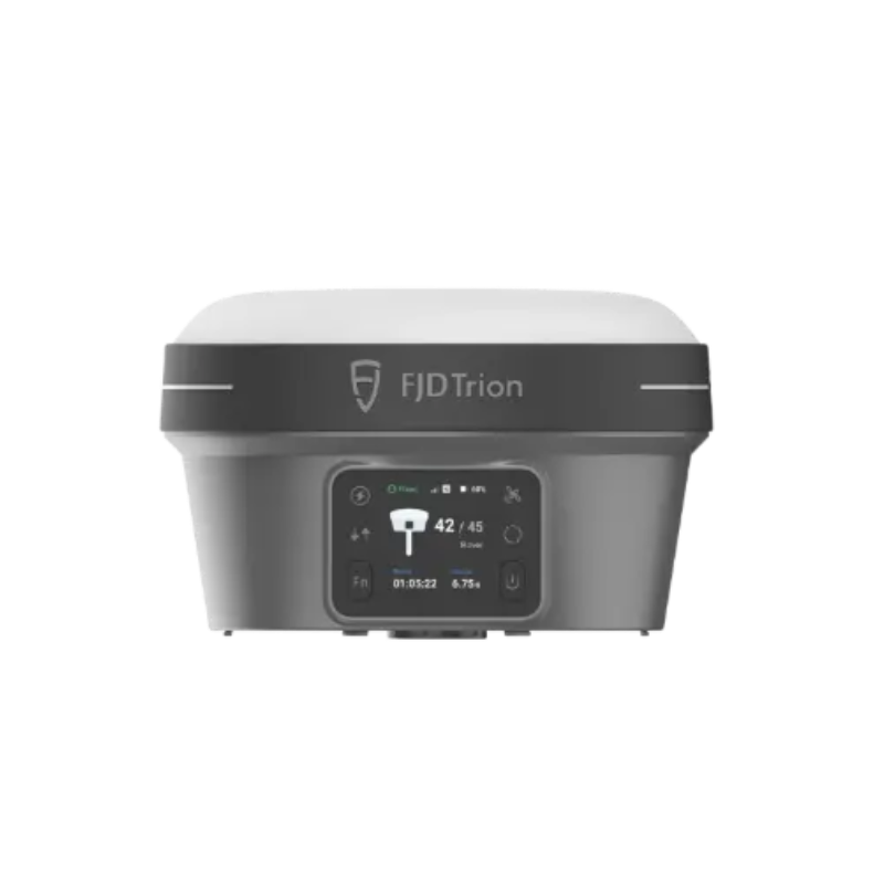
FJD Trion V10i
RTK positioning meets visual measurement for a more efficient surveying workflow. Capture points, measure difficult locations, and stake out with real-time visual guidance.
Capture More. Measure Smarter.
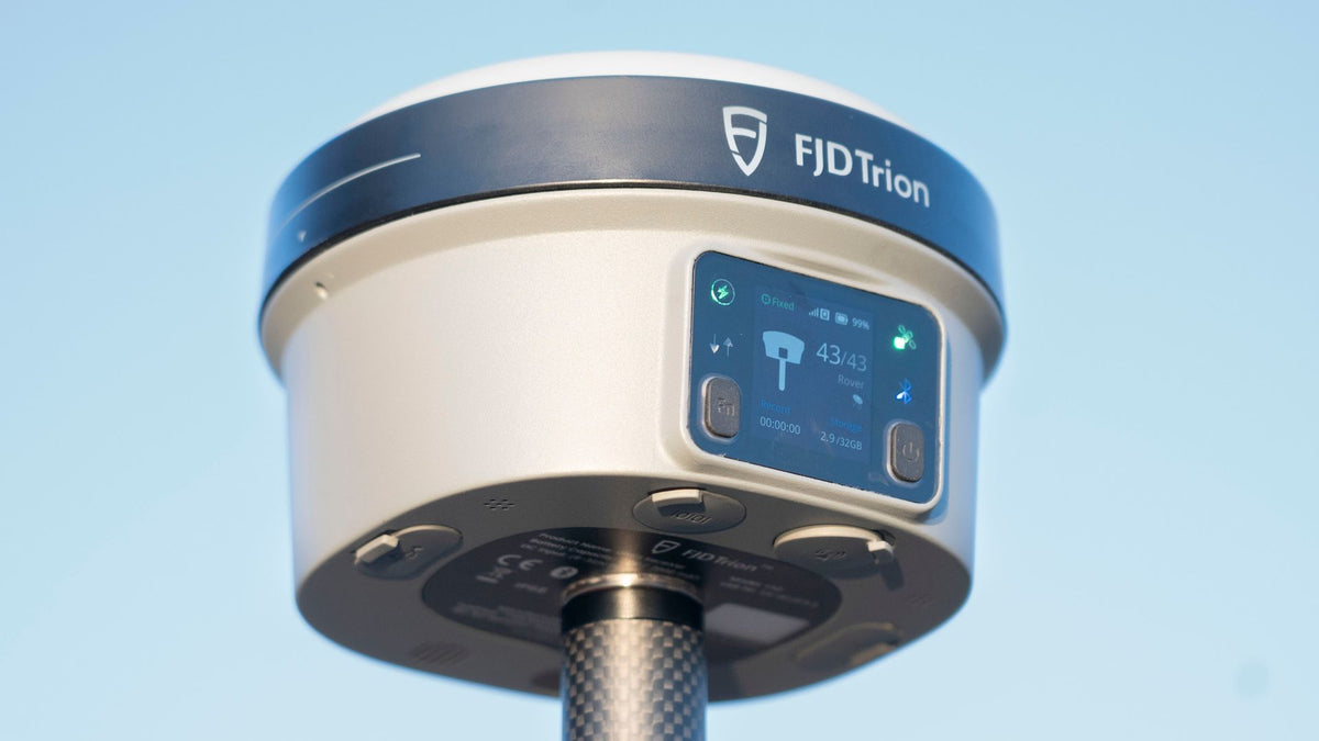
The FJD Trion V10i combines high-precision GNSS positioning, IMU-based tilt compensation, an OLED display, and dual cameras in a compact field receiver. Visual Measure helps surveyors collect measurements in difficult-to-access areas, while AR Stakeout provides real-time visual guidance directly in the camera view.
One Receiver. More Ways to Survey.
V10i brings positioning, visual measurement, stakeout, and tilt surveying together in one field-ready system.

Measure Where Traditional Methods Can't Easily Reach.
V10i's Visual Measure capability enables non-contact measurement of locations that may be difficult, unsafe, or inconvenient to reach with a survey pole.
Capture at least five high-definition photos and let the multi-engine algorithm determine coordinates within the captured images.

See Your Stakeout Points in the Real World.
AR Stakeout combines the V10i's positioning capability with its dual-camera system to provide real-time visual guidance during stakeout operations.
Instead of relying only on traditional directional guidance, surveyors can view the surrounding site while point locations are displayed directly in the camera view.
- Real-time visual guidance
- Dual-camera field view
- Point locations displayed in the video view
- Designed for faster field stakeout workflows
Survey Accurately Without Keeping the Pole Vertical.
V10i supports tilt surveying up to 60°. Its IMU-based tilt compensation automatically accounts for the receiver's tilted position, helping surveyors collect points more efficiently in real-world field conditions.

From Positioning to Measurement
A flexible workflow for collecting, measuring, and staking out points directly in the field.
Connect
Connect the receiver using 4G, UHF, Wi-Fi, Bluetooth, or other supported field communication methods.
Position
Establish high-precision GNSS positioning and use tilt compensation when measuring at an angle.
Measure
Capture points conventionally or use Visual Measure for locations that are difficult to access.
Stake Out
Use AR Stakeout to visualize point locations and navigate the site with real-time camera guidance.
Built for Professional Field Surveying
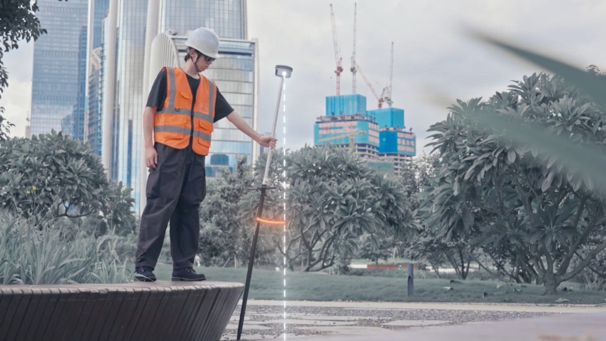
V10i supports a broad range of surveying and mapping workflows across demanding field environments.

Cadastral Surveying

Construction Surveying
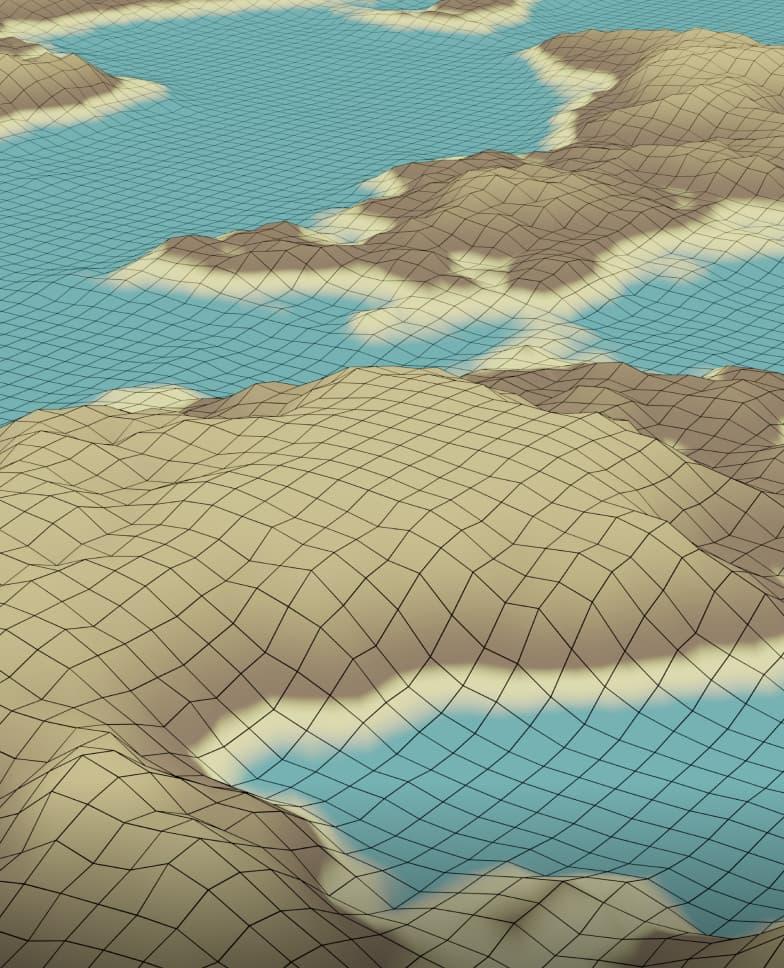
Topographic Surveying
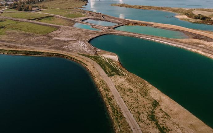
River & Coastline Surveying

Bridges & Roads Surveying
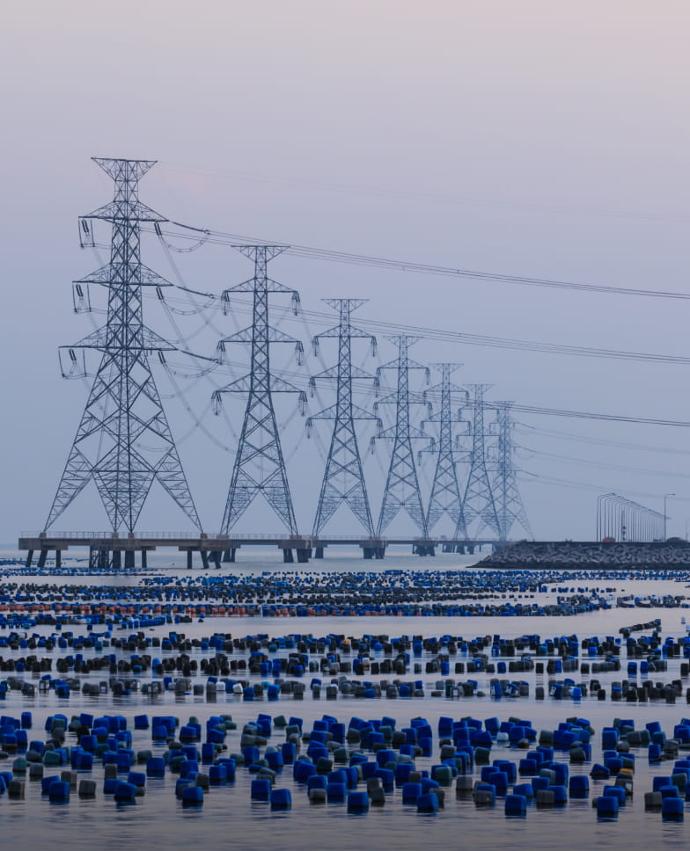
Utility Infrastructure Surveying
Built for Real-World Conditions
V10i is designed for long days in demanding outdoor environments, with protection against dust, water, and accidental pole drops.
Clear Status. Flexible Control.
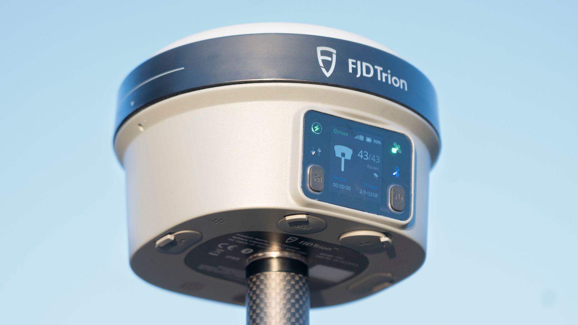
The built-in 1.41-inch true-color OLED screen provides clear device status information, even under bright outdoor conditions.
V10i can be operated with either a compact keyboard controller or a tablet controller through the Trion Survey software ecosystem.
- 1.41-inch true-color OLED display
- 4G LTE and built-in UHF
- Wi-Fi, Bluetooth and NFC
- 32 GB internal storage
FJD Trion V10i Specifications
Detailed specifications for the V10i RTK System with Visual Positioning.
| Specification | Details |
|---|---|
| GNSS | |
| Channels | 1,408 channels |
| GPS | L1A, L1C, L2C, L2P, L5 |
| GLONASS | L1, L2, L3 |
| BeiDou | B1I, B2I, B3I, B1C, B2a, B2b |
| Galileo | E1, E5a, E5b, E6 |
| QZSS | L1, L2C, L5, L6* |
| IRNSS | L5* |
| SBAS | L1C/A |
| HAS-PPP | E6 |
| Communications & Data Storage | |
| SIM Card | Nano-SIM card |
| Network Modem | Integrated 4G modem: TDD-LTE, FDD-LTE, WCDMA, EDGE, GPRS, GSM |
| Wi-Fi | 2.4 / 5 GHz, 802.11a/b/g/n/ac |
| Bluetooth | BT 5.2 & BLE |
| NFC | Supported for device connection |
| Ports | 7-pin LEMO port, USB Type-C port, UHF antenna port |
| Built-in UHF Radio | 410–470 MHz / 902–928 MHz; 2 W transmit power |
| UHF Range | Typically 6–12 km; up to 16 km under optional conditions |
| Data Formats | Input & Output: NMEA-0183, RTCM 3.x; Input: RTCM 2.x, CMR |
| Internal Memory | 32 GB |
| Camera | |
| Sensor Resolution | Forward: 2 MP; Downward: 5 MP |
| Field of View | 83° |
| Image Group Capture | Video photogrammetry; maximum capture time: 30 s; image group size: approximately 30 MB |
| Camera | Starlight-grade global-shutter camera with 3 μm × 3 μm large-format sensor |
| Positioning | |
| RTK Accuracy | Horizontal: 8 mm + 1 ppm RMS Vertical: 15 mm + 1 ppm RMS |
Compare the V10 Series
Choose the V10 system that matches your preferred surveying and measurement workflow.
| Feature |
 V10a V10a |
 V10i V10i |
 V10L V10L |
|---|---|---|---|
| Core Technology | AR Stakeout | Visual Positioning | Laser Measurement |
| High-Precision RTK | ✓ | ✓ | ✓ |
| AR Stakeout | ✓ | ✓ | ✓ |
| Tilt Survey | ✓ | ✓ | ✓ |
| Visual Measurement | — | ✓ | V10Li |
| Laser Measurement | — | — | ✓ |
| Primary Focus | AR-assisted stakeout | Visual measurement | Laser measurement |