
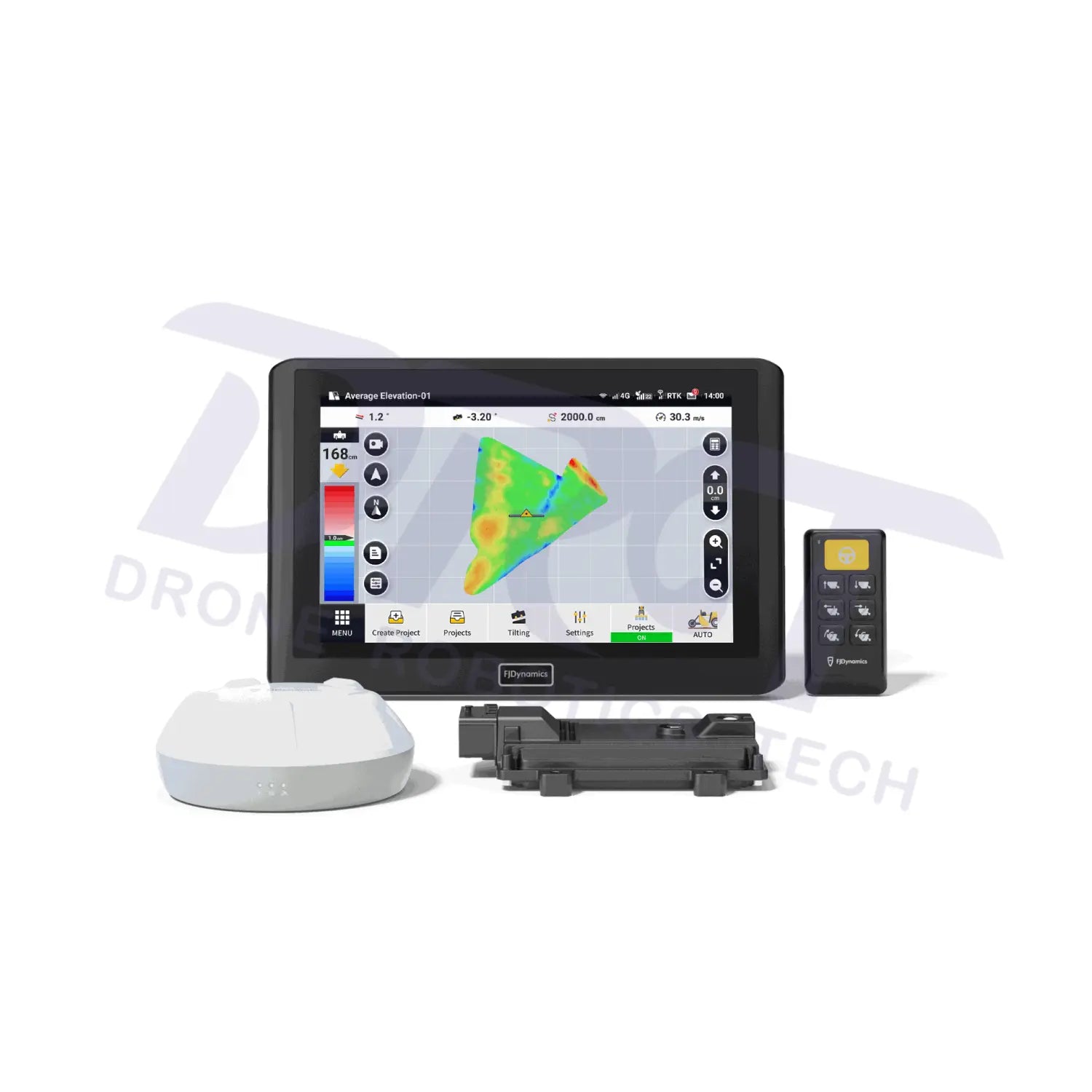
FJD AL02 3D Land Leveling System
Complete your setup
Choose optional extras for your configuration.
Extras are optional. Check the package contents before adding more.
Please confirm this configuration with DRT before ordering. Confirm with DRT ↗
Choose your configuration. Contact DRT for help with equipment, accessories or project requirements.
Ask a DRT specialistFree shipping over $599.00
Money Back Guarantee
Pairs well with
FJD AL02 3D Land Leveling System
If you have any questions, you are always welcome to contact us. We'll get back to you as soon as possible, within 24 hours on weekdays.
-
Shipping Information
Use this text to answer questions in as much detail as possible for your customers.
-
Customer Support
Use this text to answer questions in as much detail as possible for your customers.
-
FAQ’s
Use this text to answer questions in as much detail as possible for your customers.
-
Contact Us
Use this text to answer questions in as much detail as possible for your customers.

All-Round Compatibility
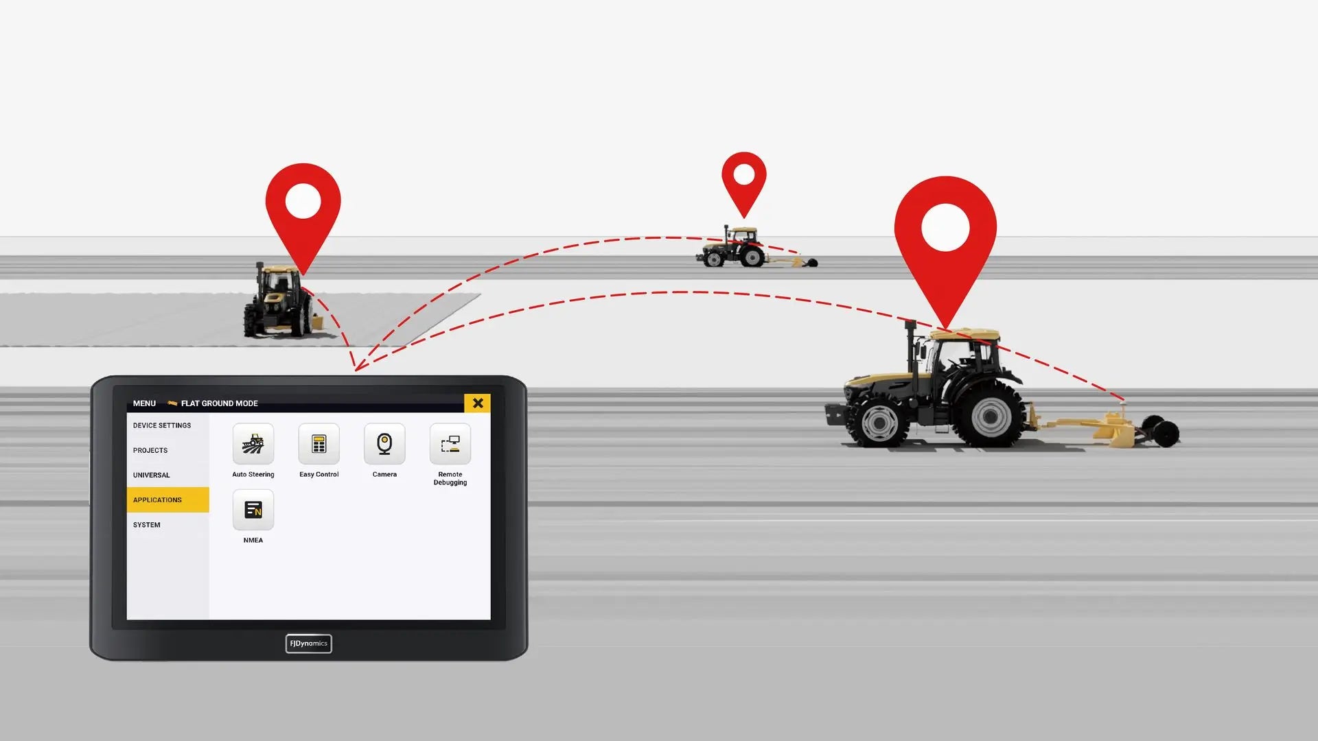
Multi-Machine Collaboration

Various Design Options
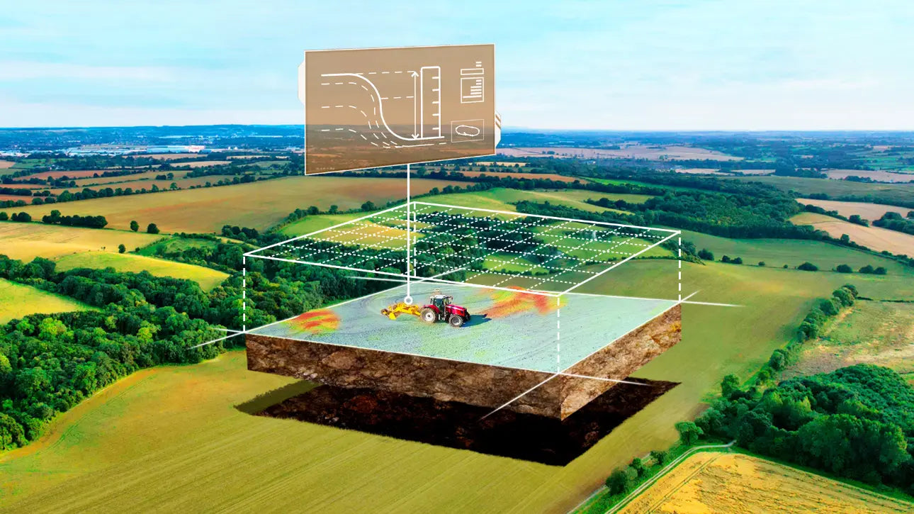
Record Keeping
Description
The existing DRT AL02 package combines terrain surveying, surface design and automatic blade control.
Shape the field for better water management.
Survey the terrain
Capture field height information for the leveling plan.
Design the surface
Plan a level or sloped target surface.
Control the blade
Use GNSS positioning to follow the designed height.
Specifications & configuration
| DRT listing | AL02; existing configuration |
|---|---|
| Workflow | Survey → design → blade control |
| Application | Agricultural land leveling |
| AL02 Max | Separate model; not a silent upgrade to this listing |
Compatibility & package
Confirm scraper or grader, hydraulic valve interface, GNSS corrections and supplied terminal. AL02 and AL02 Max are separate configurations.
Only the selected product configuration is included. Optional accessories, software and installation are separate unless expressly listed.
YOUR CONFIGURATION, EXPLAINED
Know exactly what you are choosing.
INCLUDED EQUIPMENT
In the Box
The list applies to the product configuration identified above. Optional add-ons are separate items. Product photos can show equipment that is not included.
BEFORE YOU ORDER
A few things worth knowing.
Make sure it is the right fit.
Send us your model, selected configuration and the task you need it for. For a repair part, include the part number or a clear photo of its label.