01
XGRIDS
Reach the accessible ground spaces

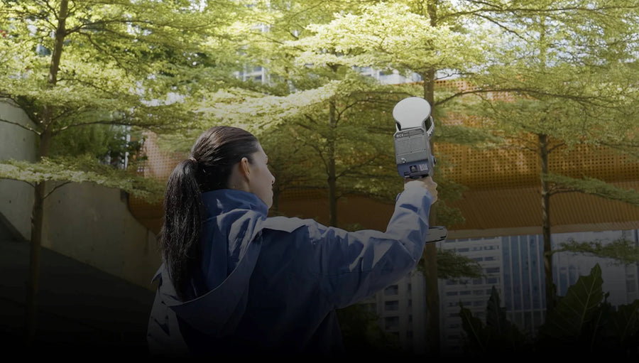
Walk the L2 Pro through interiors and accessible exterior areas to document geometry and detail along the capture route.
XGRIDS × DJI
Use Lixel L2 Pro for accessible interiors and ground detail. Add Matrice 4E aerial imagery for roofs and wider site context.
Configured around your project XGRIDS Lixel L2 ProGround-level detail
 DJI Matrice 4EAerial viewpoints
Why these products together
XGRIDS
Walk the L2 Pro through interiors and accessible exterior areas to document geometry and detail along the capture route.
DJI

Matrice 4E captures aerial images from suitable viewpoints beyond the walking route, adding roof and wider site context.
What the combination gives you
These are separate capture tools. A combined dataset needs supported processing, planned overlap and appropriate control.
How the benefit is achieved
Matrice 4E provides aerial images of appropriate roof and exterior areas, while L2 Pro documents accessible ground spaces.
How the benefit is achieved
L2 Pro adds handheld scanning along a planned route, including spaces that require ground access.
How the benefit is achieved
Agree coverage, control, coordinates and output formats first. Evaluate alignment or fusion only with a supported processing workflow.
The combination, explained
Illustrative workflow
Walk the accessible interior and exterior with L2 Pro, then capture suitable roof and surrounding views with the aircraft. Review overlap and data quality before processing the agreed outputs for the client.
AEC, property, venue and digital-twin projects requiring complementary indoor and outdoor coverage.
For a one-time project, ask DRT to scope capture and processing services. If you already own a scanner or aircraft, build the plan around that equipment first.
Workflow illustration
Agree whether you need engineering point clouds, a photorealistic scene, or both.
Set control, coordinate system, overlap and timing before either capture.
Use the scanner for accessible ground spaces and the aircraft for appropriate aerial viewpoints.
Check dataset quality, software support and alignment before the agreed handoff.
Configured around your project
Start with the two products below, or ask DRT to scope capture and processing as a service. The final proposal identifies licenses, control and deliverables.
Review setup and compatibility
No. Separate datasets are the starting point. Fusion or alignment depends on software support, licenses, source data, overlap and control.
A point cloud is commonly used for geometry workflows; a Gaussian splat is a photorealistic scene format. Define measurement and presentation needs before choosing the processing path.
Ask for a scoped service proposal specifying the site, outputs, accuracy needs and schedule. Equipment and service pricing are separate unless quoted together.
DRT SOLUTION PLANNING
Share your current equipment and the problem you want to solve. We will review the missing pieces and the configuration for your work.
888-356-6818