01
FJD
Support consistent tractor passes

AT2 Max guides a compatible, calibrated tractor along configured lines with the appropriate installation and correction source.
FJD AGRICULTURE × DJI
DJI Matrice 4E adds a current aerial view. FJD AT2 Max supports guidance on a compatible tractor, helping the operator manage field passes.
Machine and workflow review FJD AT2 MaxGuide a compatible tractor
 DJI Matrice 4ECapture field context
Why these products together
FJD
AT2 Max guides a compatible, calibrated tractor along configured lines with the appropriate installation and correction source.
DJI
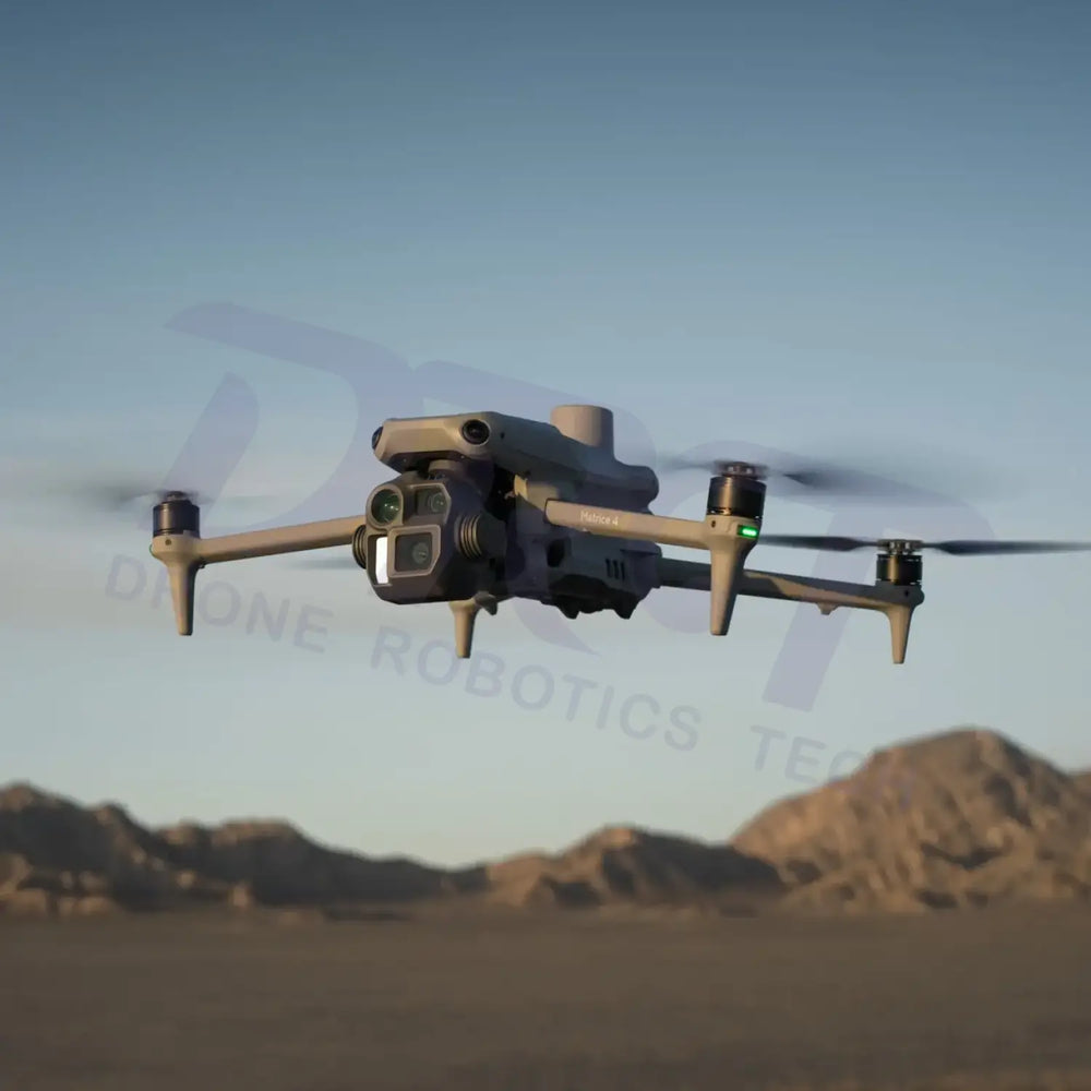
Matrice 4E adds RGB aerial records for reviewing field layout, access and visible conditions before the team plans its task.
What the combination gives you
The team connects the two tasks. DJI imagery does not automatically become FJD guidance lines or control the tractor.
How the benefit is achieved
Matrice 4E RGB imagery adds visual context for field access, boundaries and documentation.
How the benefit is achieved
AT2 Max provides guidance on a compatible, calibrated tractor with the appropriate correction source and installation.
How the benefit is achieved
Review tractor fit, field tasks and any required data import before choosing adapters, software or optional functions.
The combination, explained
Illustrative workflow
Use a current aerial record to discuss access and field conditions, then configure the tractor guidance task independently with the correct implement and correction setup. Keep any map import as a separate, verified step.
Farm teams that need both aerial visual records and guidance for an existing compatible tractor.
If your main problem is repetitive steering, start with tractor fit and AT2 Max. Add the aircraft when aerial documentation has a clear role in your operation.
Workflow illustration
Confirm tractor make, model, year and steering installation requirements.
Separate guidance needs from aerial imagery and mapping requirements.
Configure the tractor correction source and drone capture plan independently.
Confirm supported formats and any manual conversion before attempting a shared data workflow.
Machine and workflow review
The FJD system and DJI aircraft are separate purchases. DRT can quote installation, corrections and a data workflow after reviewing the machine and job.
Review setup and compatibility
Do not assume a direct import. Confirm the file format, coordinates, software and conversion path for the specific task.
This solution uses RGB aerial imagery for visual context. Multispectral analysis requires a different sensor and workflow.
Provide the make, model, year, steering details, implement and intended field tasks. DRT will review the required adapter, correction source and installation.
DRT SOLUTION PLANNING
Share your current equipment and the problem you want to solve. We will review the missing pieces and the configuration for your work.
888-356-6818
