
If you have any questions, you are always welcome to contact us. We'll get back to you as soon as possible, within 24 hours on weekdays.
-
Shipping Information
We offer reliable shipping across the United States. Orders over $599 qualify for free standard shipping.
Shipping options and estimated delivery times are shown at checkout and may vary by product and destination.
Products containing lithium-ion batteries may be subject to special shipping and carrier requirements.
For large equipment or enterprise orders, please contact our sales team for shipping assistance.
-
Customer Support
Need help choosing the right product, checking an order, or troubleshooting a product?
Our team can assist with product selection, order status, shipping, warranty, technical support, and general product questions.
Sales & Product Inquiries
Phone: +1 (888) 356-6818
Email: sales@droneroboticstec.comTechnical Support
+1 (888) 356-6818 Ext. 804 — Christopher
+1 (888) 356-6818 Ext. 806 — LucasWorking Hours
Mon–Fri: 9:00 AM–5:00 PM PST -
Contact Us
Have a question before placing an order?
Contact our sales team for product recommendations, availability, pricing, enterprise solutions, and bulk orders.
Sales Team
Phone: +1 (888) 356-6818
Email: sales@droneroboticstec.comFor enterprise, commercial, bulk, or dealer inquiries, we're happy to help you find the right solution.
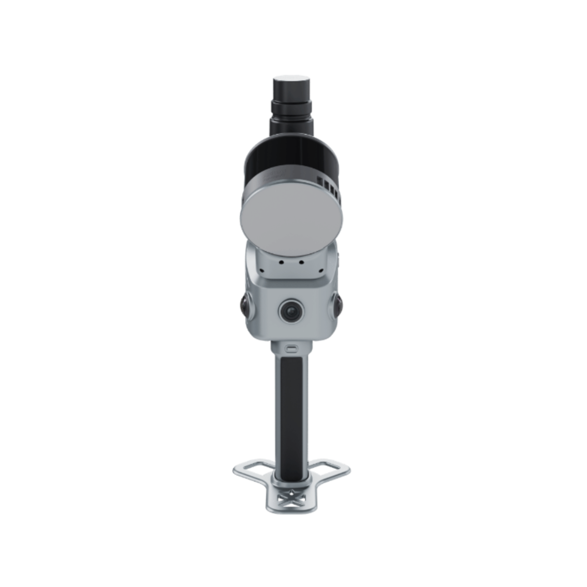
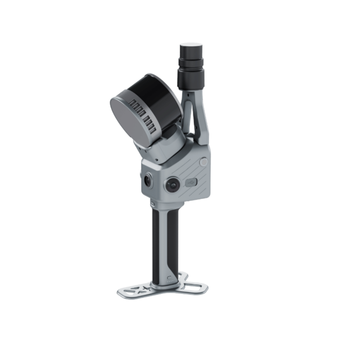
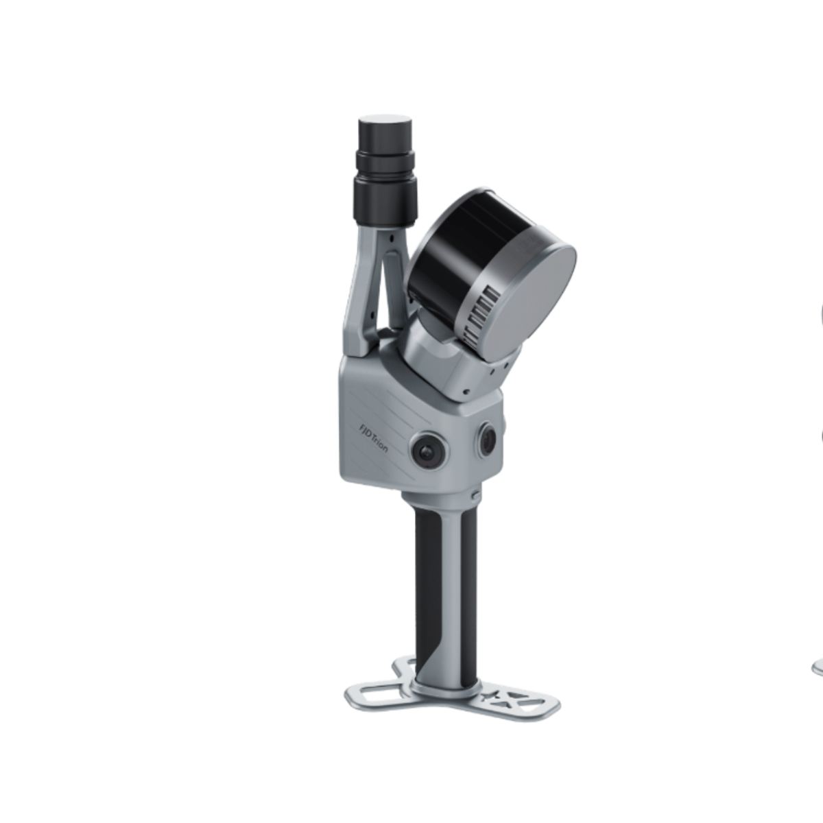
FJD Trion T1 Hybrid Mobile & Terrestrial LiDAR Scanner
A versatile LiDAR scanning system that combines mobile and terrestrial scanning in one modular platform, enabling efficient large-area capture and detailed stationary scanning for professional 3D reality capture.
One System. Two Scanning Modes.
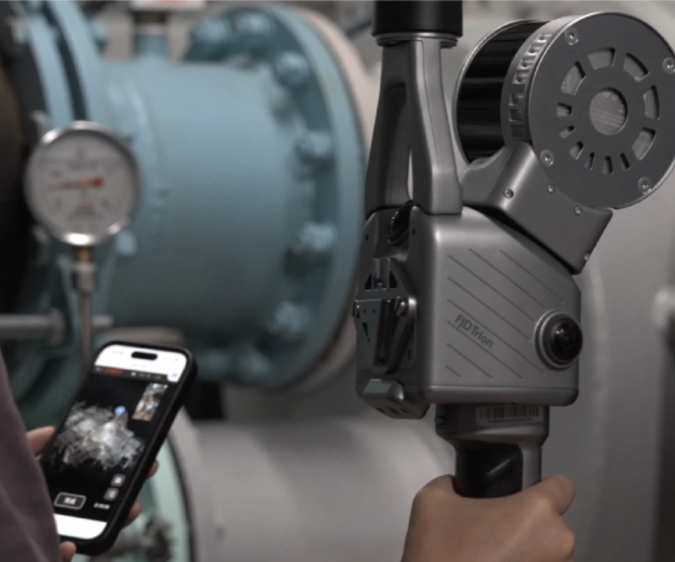
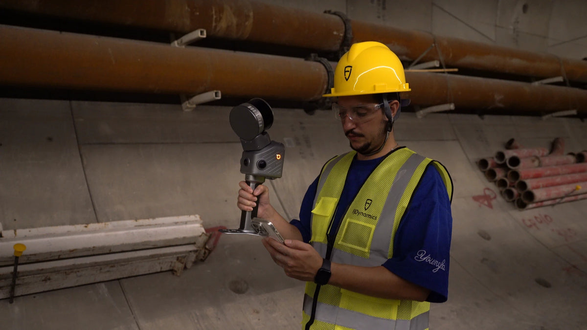
FJD Trion T1 combines mobile LiDAR and terrestrial LiDAR capabilities in a single system, allowing professionals to adapt their scanning workflow to different environments and project requirements.

Capture More Ground, More Efficiently
Designed for efficient large-area scanning, the mobile configuration captures spatial data while moving through the site. With a scanning range of up to 120 m and a scan speed of 640,000 points per second, T1 is suited to roads, construction sites, mining areas, urban environments, and other large-scale projects.

Detailed Stationary Scanning
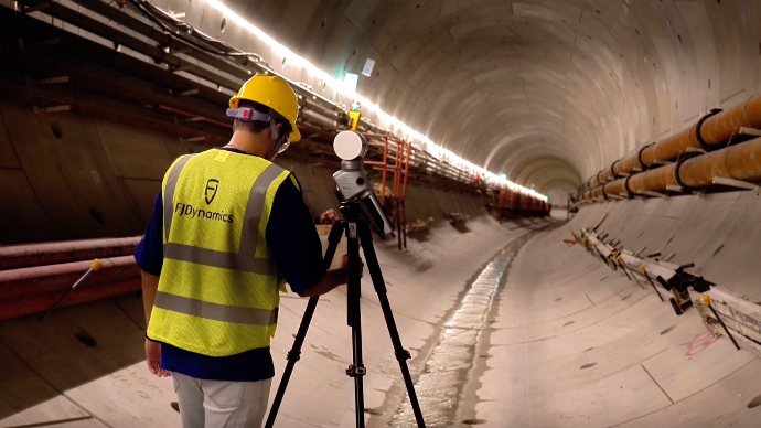
Use T1 as a terrestrial LiDAR scanner when detailed stationary capture is required. With a scanning range of up to 60 m and relative accuracy of 4 mm at 10 m and 8 mm at 30 m, the terrestrial configuration provides detailed spatial data for structures, interiors, and specific areas.
Integrated by Design
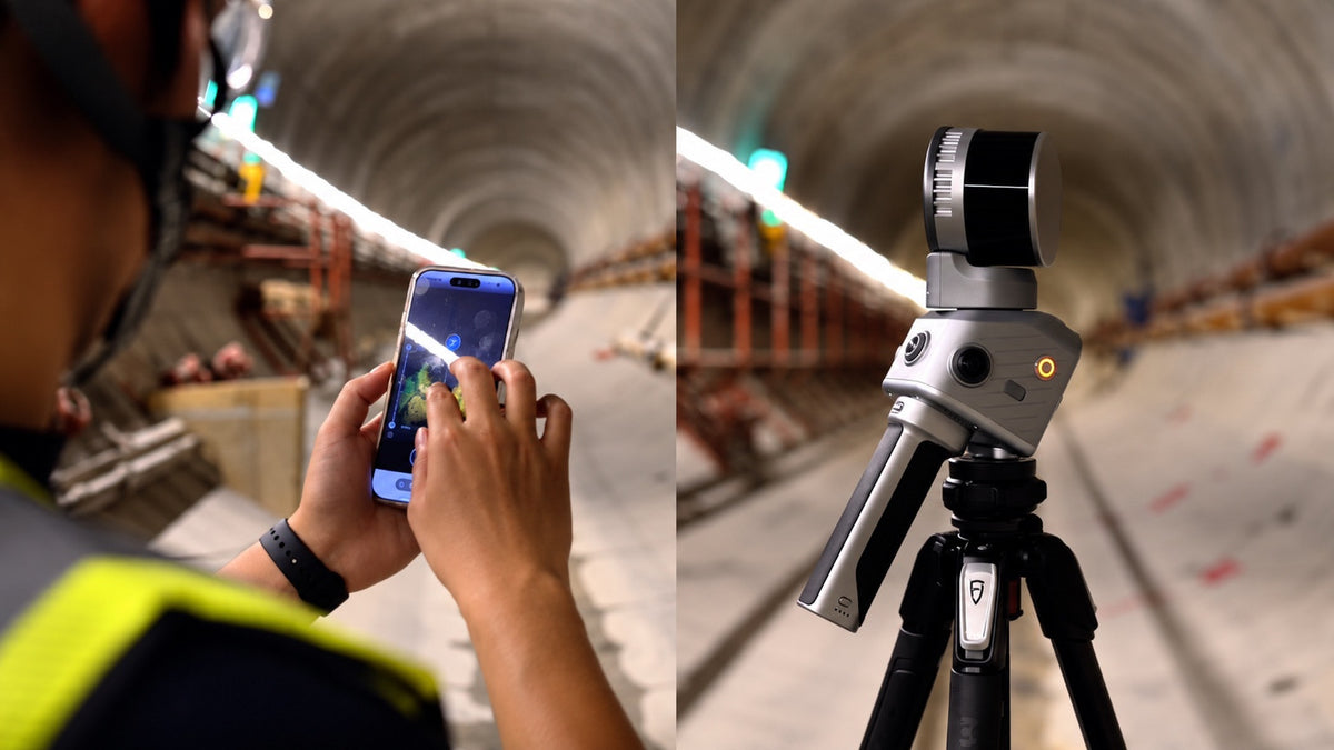
RTK, built-in cameras and LiDAR come together in one modular system for quick on-site setup. Weighing just 1.65 kg, the main unit is designed to be easy to carry and reconfigure across the project.

LiDAR
640,000 pts/s scanning speed with a 360° × 270° field of view.
Imaging Cameras
Three 48 MP cameras for high-resolution imaging and spatial documentation.
Vision Camera
1080p RGB vision camera with an 80° × 47° field of view.
RTK
Integrated GNSS and RTK positioning for accurate georeferenced reality capture.
Built for Professional 3D Reality Capture
T1 brings high-speed LiDAR scanning, imaging, and GNSS positioning together in a compact modular platform.
Large-Area Mobile Scanning
Capture extensive environments efficiently with a mobile scanning range of up to 120 m and a scanning speed of 640,000 points per second.
Detailed Terrestrial Scanning
Switch to stationary scanning for detailed capture of structures, interiors, and specific project areas.
High-Resolution Imaging
Three 48 MP imaging cameras provide high-resolution visual data to complement LiDAR point cloud capture.
Integrated GNSS & RTK
Support georeferenced reality capture with integrated GNSS and RTK positioning.
Wide LiDAR Coverage
A 360° × 270° LiDAR field of view supports comprehensive spatial data acquisition across complex environments.
Modular Field Configuration
The integrated modular design allows the system to be carried and reconfigured according to project requirements.
Applications
T1 is designed for projects that require efficient spatial data capture across large environments and detailed target areas.
Surveying & Mapping
Capture detailed spatial information for surveying, mapping, topographic documentation, and 3D site reconstruction.
Construction & As-Built
Document existing conditions and support construction verification, progress documentation, and as-built workflows.
Roads & Infrastructure
Capture road corridors, bridges, infrastructure assets, and other large-scale environments.
Mining & Earthwork
Collect 3D spatial data across mining, earthwork, and large outdoor environments.
Architecture & BIM
Capture existing buildings and structures for 3D modeling, renovation, documentation, and BIM-related workflows.
Industrial Inspection
Document complex industrial structures and environments where detailed spatial information is required.
Mobile or Terrestrial. One T1.
Select the scanning mode according to the environment, coverage requirements, and level of detail required for the project.
| Specification | Mobile Scanning | Terrestrial Scanning |
|---|---|---|
| Relative Accuracy | ≤ 1 cm | 4 mm @ 10 m, 8 mm @ 30 m |
| Scanning Range | 0.5–120 m | 0.5–60 m |
| Active Cameras | 1 × 1080p + 2 × 48 MP | 3 × 48 MP |
Specifications
Detailed technical specifications for the FJD Trion T1.
LiDAR
| LiDAR Range | 120 m @ 80%; 80 m @ 10% |
|---|---|
| Scan Speed | 640,000 pts/s |
| Laser Safety | Class 1 |
| Wavelength | 905 nm |
| Field of View | 360° × 270° |
Imaging Unit
| Resolution | 48 MP |
|---|---|
| Field of View | 360° × 235° |
| Aperture | f/2 |
| Camera Quantity | 3 |
Vision Unit
| Resolution | 1080p RGB |
|---|---|
| Field of View | 80° × 47° |
| Aperture | f/2.2 |
| Camera Quantity | 1 |
General Specifications
| Battery Life | 3.5 h (dual handles) |
|---|---|
| Battery Capacity | 43.2 Wh |
| Power Supply | Handle battery + DC power |
| Storage | 512 GB, expandable to 1 TB |
| Power Consumption | 24 W |
| Data Export | Wi-Fi, USB Type-C |
| Weight | 1.65 kg (main unit) 2.23 kg (incl. battery, base and RTK) |
| Dimensions | 108 × 173 × 433 mm |
| Operating Temperature | −20 °C to 50 °C |
| IP Rating | IP54 |
GNSS
| Satellite Constellations | BDS / GPS / GLONASS / Galileo / QZSS |
|---|---|
| RTK Accuracy — Horizontal | 8 mm + 1 ppm RMS |
| RTK Accuracy — Vertical | 15 mm + 1 ppm RMS |
| PPK Mode | √ |