
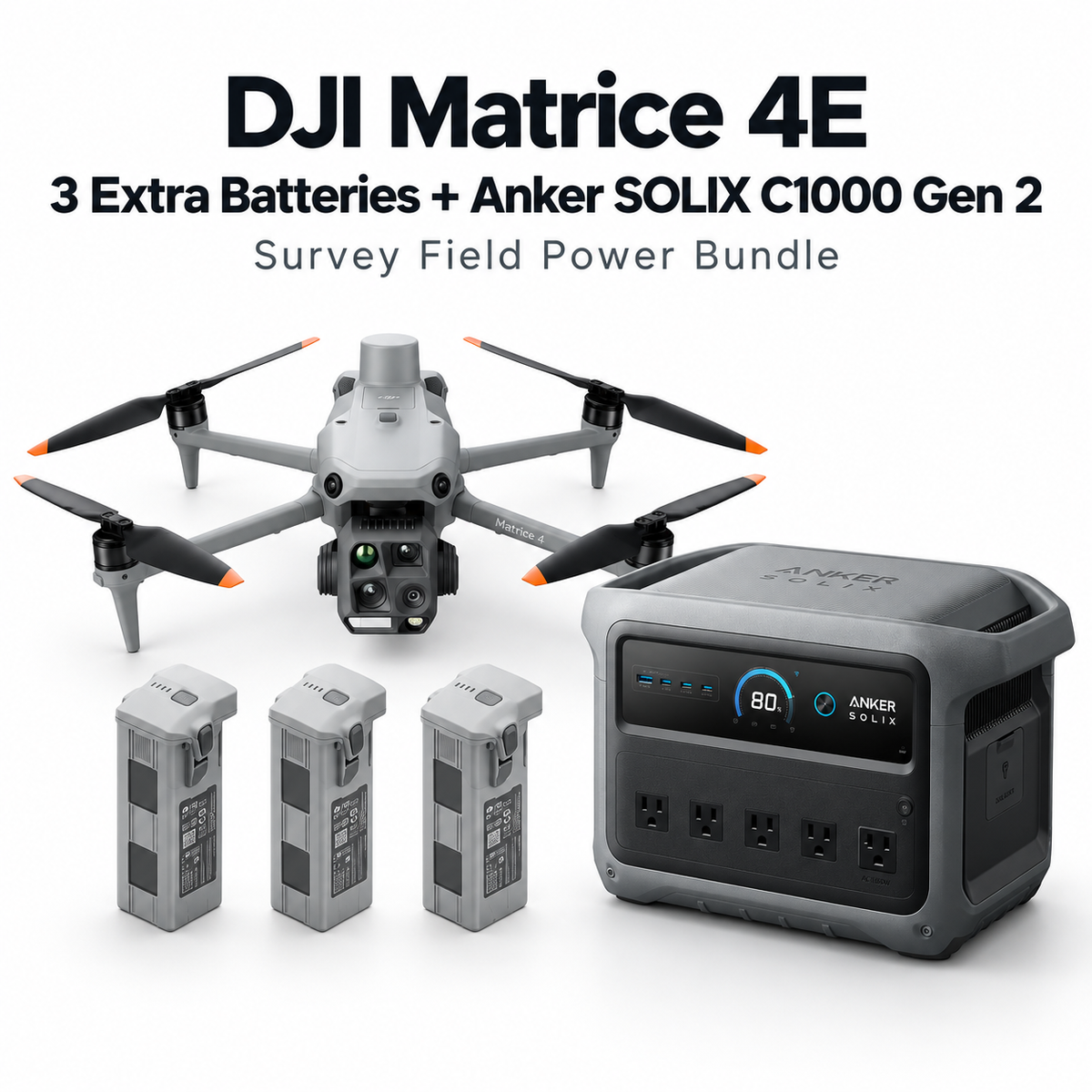

DJI Matrice 4E Survey Field Power Bundle – 3 Extra Batteries + Anker SOLIX C1000 Gen 2
DRT-M4E-C1000-FP
Free shipping over $599.00
Money Back Guarantee
Pairs well with
DJI Matrice 4E Survey Field Power Bundle – 3 Extra Batteries + Anker SOLIX C1000 Gen 2
If you have any questions, you are always welcome to contact us. We'll get back to you as soon as possible, within 24 hours on weekdays.
-
Shipping Information
We offer reliable shipping across the United States. Orders over $599 qualify for free standard shipping.
Shipping options and estimated delivery times are shown at checkout and may vary by product and destination.
Products containing lithium-ion batteries may be subject to special shipping and carrier requirements.
For large equipment or enterprise orders, please contact our sales team for shipping assistance.
-
Customer Support
Need help choosing the right product, checking an order, or troubleshooting a product?
Our team can assist with product selection, order status, shipping, warranty, technical support, and general product questions.
Sales & Product Inquiries
Phone: +1 (888) 356-6818
Email: sales@droneroboticstec.comTechnical Support
+1 (888) 356-6818 Ext. 804 — Christopher
+1 (888) 356-6818 Ext. 806 — LucasWorking Hours
Mon–Fri: 9:00 AM–5:00 PM PST -
Contact Us
Have a question before placing an order?
Contact our sales team for product recommendations, availability, pricing, enterprise solutions, and bulk orders.
Sales Team
Phone: +1 (888) 356-6818
Email: sales@droneroboticstec.comFor enterprise, commercial, bulk, or dealer inquiries, we're happy to help you find the right solution.

Extended Flight. Portable Power.
DJI Matrice 4E with four total flight batteries plus the Anker SOLIX C1000 Gen 2 — built for professional survey teams working beyond convenient grid power.
4 Total Flight Batteries
One standard Matrice 4 battery plus three additional batteries helps reduce interruptions during larger mapping missions.
Portable Field Power
Bring AC and USB power to remote survey sites, undeveloped land, and construction locations.
Built for Remote Operations
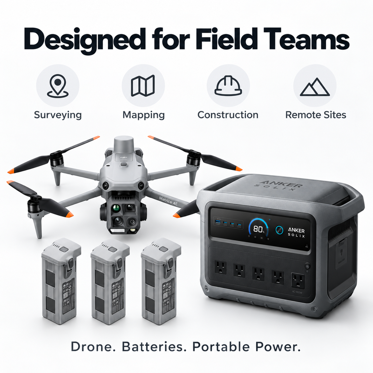
A practical setup for survey, GIS, mapping, construction, and field data collection.
Batteries Extend Flight Time.
C1000 Gen 2 Extends Field Time.
DJI Matrice 4E
Designed for professional surveying, mapping, photogrammetry, construction documentation, GIS, and precision site data collection.
Fly. Swap. Recharge. Continue.
Built to reduce downtime and make remote field operations more practical.
Anker SOLIX C1000 Gen 2
Extra drone batteries support the aircraft. C1000 Gen 2 supports the wider field operation.

A More Complete Field Setup.
Less Mission Downtime
Additional flight batteries help keep aircraft operations moving between missions.
Less Dependence on Grid Power
Take portable AC power directly to remote job sites and undeveloped locations.
One Power Source for the Crew
Support compatible charging, computing, and mobile field equipment.
Solar-Ready
C1000 Gen 2 supports up to 600W solar input for off-grid charging.
Everything in One Field Solution.
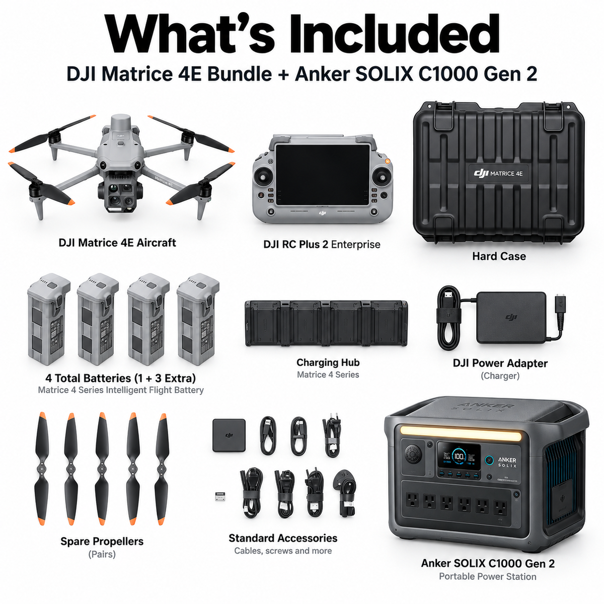
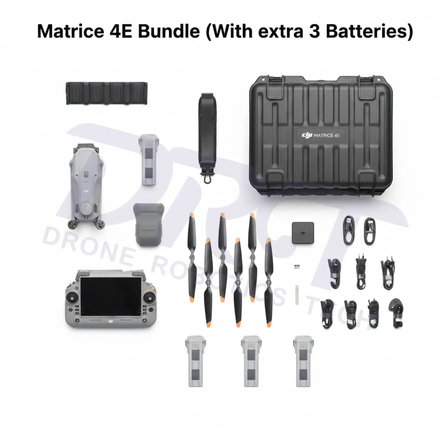
DJI Matrice 4E system, four total flight batteries, enterprise controller, charging equipment, standard accessories, hard case, and Anker SOLIX C1000 Gen 2.

Four total Matrice 4 Series Intelligent Flight Batteries: one battery included with the Matrice 4E package plus three additional batteries included in this DRT bundle.
Take the Workflow Anywhere.
The Anker SOLIX C1000 Gen 2 functions as a portable power source. DJI Matrice 4 Series Intelligent Flight Batteries must be charged using compatible DJI charging equipment connected to the C1000 Gen 2 AC output. The power station does not connect directly to the flight battery.