
If you have any questions, you are always welcome to contact us. We'll get back to you as soon as possible, within 24 hours on weekdays.
-
Shipping Information
We offer reliable shipping across the United States. Orders over $599 qualify for free standard shipping.
Shipping options and estimated delivery times are shown at checkout and may vary by product and destination.
Products containing lithium-ion batteries may be subject to special shipping and carrier requirements.
For large equipment or enterprise orders, please contact our sales team for shipping assistance.
-
Customer Support
Need help choosing the right product, checking an order, or troubleshooting a product?
Our team can assist with product selection, order status, shipping, warranty, technical support, and general product questions.
Sales & Product Inquiries
Phone: +1 (888) 356-6818
Email: sales@droneroboticstec.comTechnical Support
+1 (888) 356-6818 Ext. 804 — Christopher
+1 (888) 356-6818 Ext. 806 — LucasWorking Hours
Mon–Fri: 9:00 AM–5:00 PM PST -
Contact Us
Have a question before placing an order?
Contact our sales team for product recommendations, availability, pricing, enterprise solutions, and bulk orders.
Sales Team
Phone: +1 (888) 356-6818
Email: sales@droneroboticstec.comFor enterprise, commercial, bulk, or dealer inquiries, we're happy to help you find the right solution.
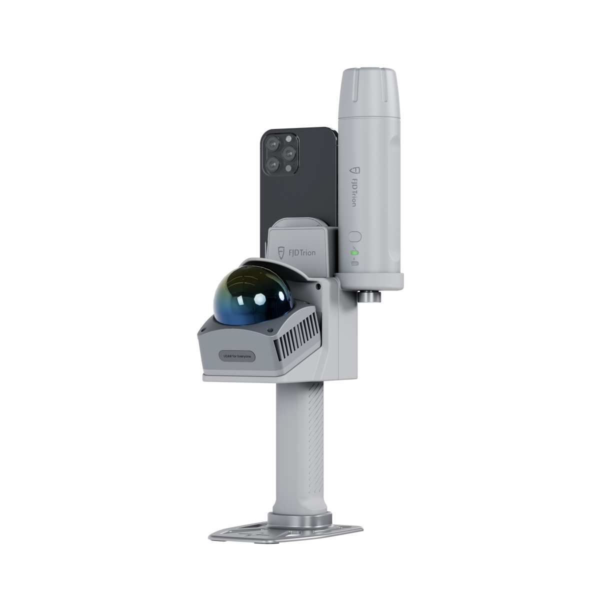
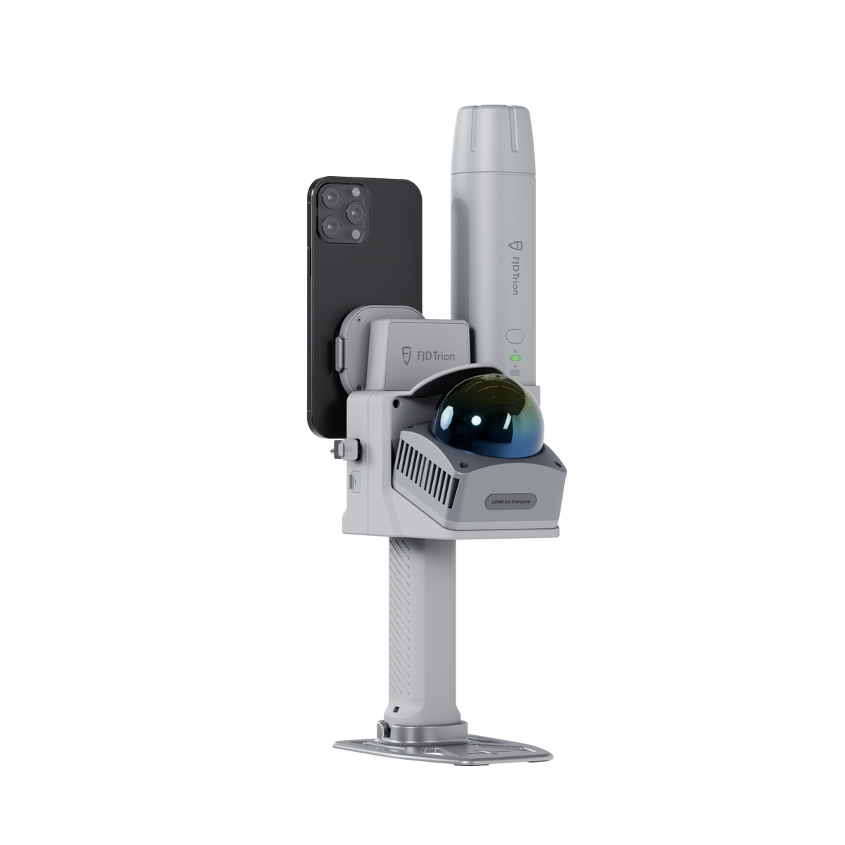
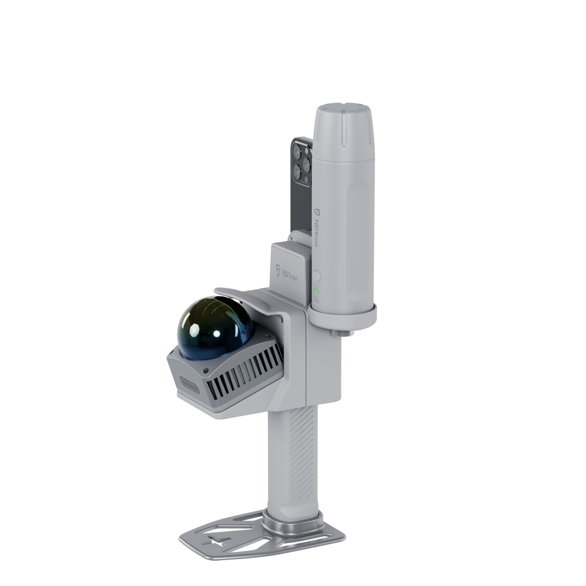
FJD Trion V4e Go
Make the Leap to Real LiDAR
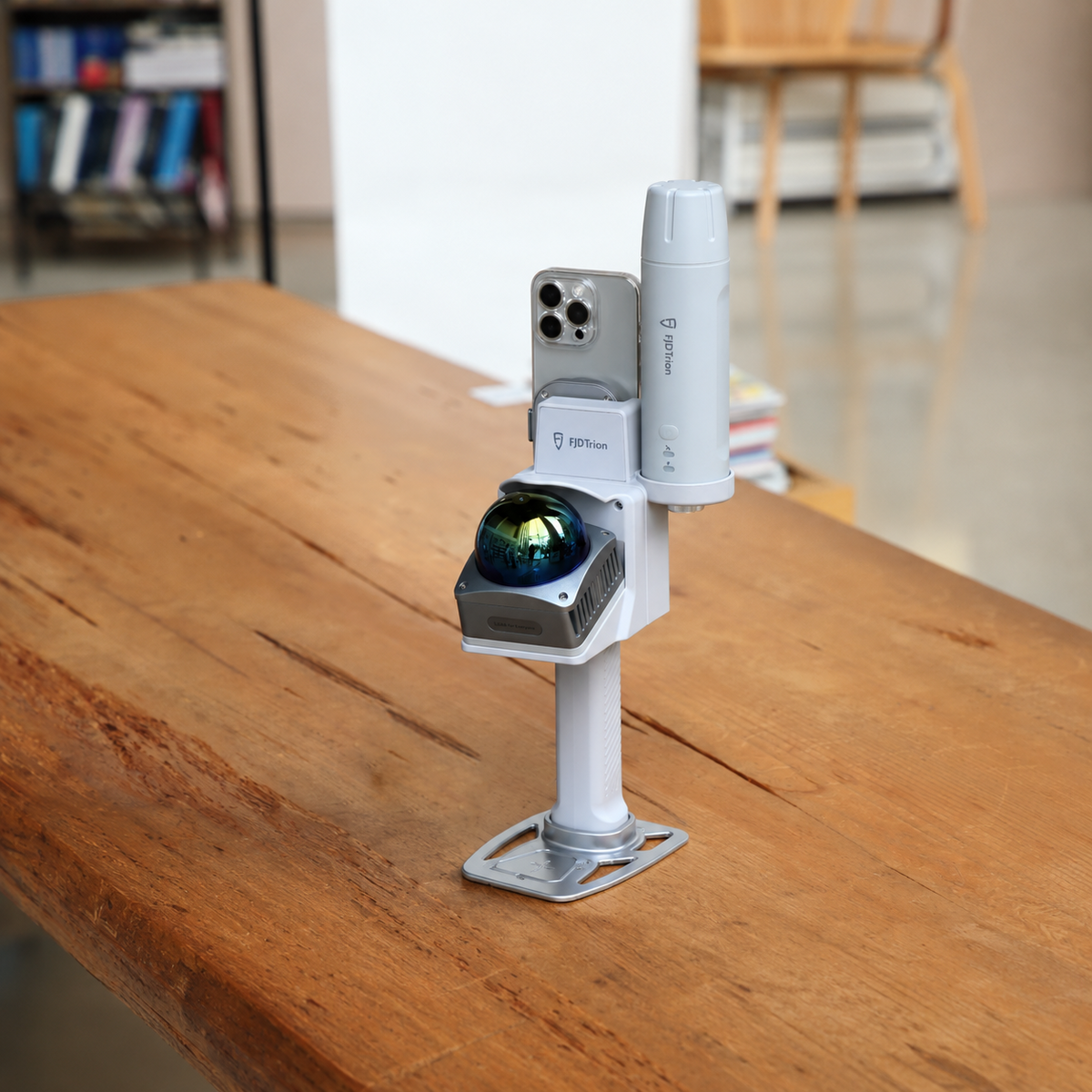
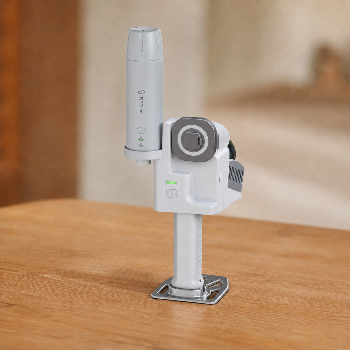
A dedicated handheld LiDAR scanner designed for practical indoor and outdoor reality capture, with your compatible smartphone serving as the display and control interface.
Dedicated LiDAR Hardware
Real LiDAR.
Beyond Phone Scanning.
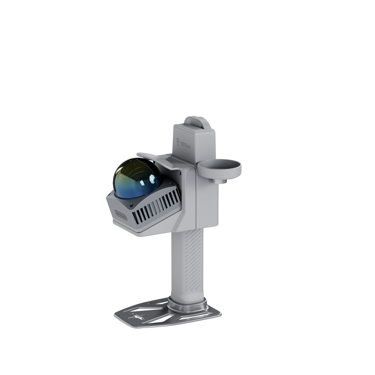
V4e Go is a dedicated LiDAR scanner built for professionals who need to move beyond the limitations of basic phone-based scanning.
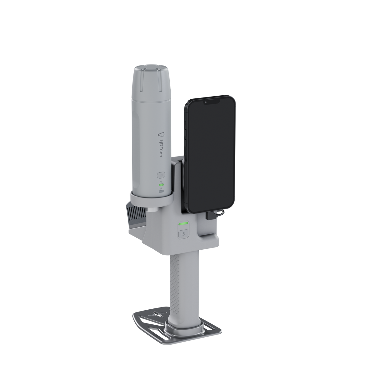
Your compatible smartphone becomes the display and control interface, while V4e Go handles the LiDAR capture. The result is a practical combination of dedicated scanning hardware and a familiar mobile workflow.
Dedicated LiDAR
Professional scanning hardware designed for dedicated reality-capture workflows.
Smartphone Interface
Use a compatible smartphone for control, real-time viewing and point-cloud colourisation.
Portable Workflow
Bring dedicated LiDAR capability into practical field-scanning projects without a complex setup.

Simple Setup
Ready in a Snap
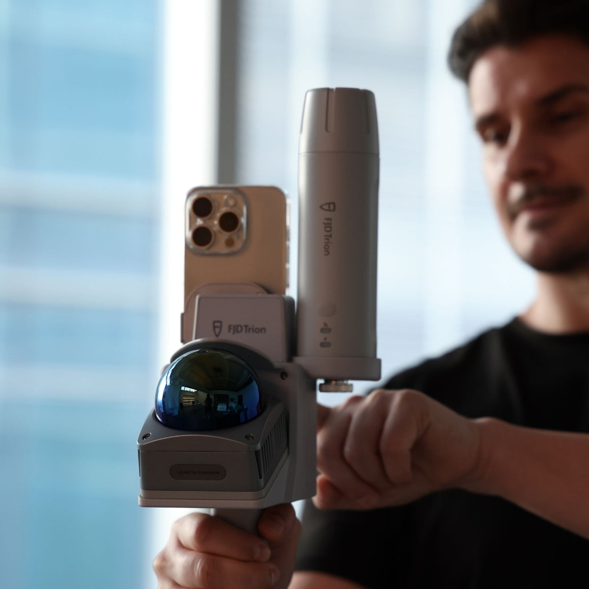
Connect your compatible smartphone to V4e Go using the magnetic mounting system and get ready to scan in seconds.
The familiar smartphone interface keeps the scanning process simple, while the dedicated V4e Go hardware provides the LiDAR capture.
LiDAR Performance
Precise Capture on Every Pass
Capture dense spatial data while moving through your environment, with a wide field of view and professional LiDAR performance.
* Post-processed accuracy under stated conditions. Actual results may vary depending on environmental conditions, surfaces, scanning method and processing workflow.

Indoor + Outdoor
One Scanner,
Two Environments
V4e Go is designed for reality capture across indoor and outdoor environments, helping you use one scanning platform across different project types.
Indoor
Floor plans, interior documentation, renovation and BIM-related workflows.
Outdoor
Reality capture, forestry, mapping and other outdoor projects.
FJD Trion Software Ecosystem
From Scan to Result
V4e Go gives you the hardware to capture your environment, then lets you choose the software workflow that best fits the project.
Capture
Scan your environment with dedicated LiDAR hardware.
Process
Choose the Creative or Model Web workflow for your project.
Deliver
Turn captured data into useful project outputs and documentation.

Creative Workflow
From Space to Floor Plan
A focused workflow for indoor scanning and floor-plan creation. Capture the space, review the scan and continue with processing through the FJD Trion Creative workflow.

Model Web Workflow
From Scan to Broader 3D Data
Extend your reality-capture workflow beyond floor plans with indoor and outdoor project processing, point-cloud workflows and broader professional applications.

Indoor Deliverables
Turn Scans Into Floor Plans
For indoor projects, the FJD Trion Creative workflow helps move captured spatial data toward usable floor-plan deliverables.
Real-World Applications
Built for Real-World Applications
From indoor floor plans to outdoor site analysis, the FJD Trion V4e Go supports professional 3D reality-capture workflows across a range of applications.
Floor Plans
Capture indoor spaces and turn scan data into detailed floor plans for documentation, renovation and design workflows.
BIM Models
Capture existing conditions and generate accurate 3D data to support BIM, modeling and project documentation.
Tree Inventory
Capture detailed 3D data for tree inventory, forestry documentation and outdoor reality-capture projects.
Volume Analysis
Capture 3D point-cloud data for volume analysis of stockpiles, materials, terrain and other outdoor environments.

Before You Buy
Your Phone Becomes the Interface
V4e Go uses a compatible smartphone for scanning control, viewing and point-cloud colourisation.
Smartphone compatibility varies between scanning and point-cloud colourisation, so please confirm your device before purchase.
Current Compatible Models
Scanning: Samsung Galaxy S25 series and later; iPhone 15 series and later; Google Pixel 10 series and later; OPPO Find X8 Ultra, Find X9 Pro and later.
Point-cloud colourisation: Samsung Galaxy S25 series and later; iPhone 15 series and later; Google Pixel 10 series and later.
More models may be added over time. iPhone e and Air models and phones released before 2023 are currently not supported.
Product Overview
FJD Trion V4e Go at a Glance
A dedicated LiDAR scanning platform designed to combine portable hardware with flexible mobile workflows.

Technical Specifications
FJD Trion V4e Go Specifications
LiDAR
| Point Cloud Output | 154,600 points/s @ 70° vertical FOV |
|---|---|
| Detection Range |
0.05–50 m @ 90% reflectivity 0.1–25 m @ 10% reflectivity |
| Post-Processed Accuracy |
Relative: 1 cm Absolute: 3 cm |
| Field of View |
Horizontal: 360° Vertical: -10° to 60° |
| Laser Wavelength | 905 nm ± 5 nm |
| Laser Classification | Class 1 |
| Sampling Rate | ≥ 200 kHz |
Mobile Compatibility
| Scanning |
Samsung Galaxy S25 series and later; iPhone 15 series and later; Google Pixel 10 series and later; OPPO Find X8 Ultra, Find X9 Pro and later |
|---|---|
| Point-Cloud Colourisation |
Samsung Galaxy S25 series and later; iPhone 15 series and later; Google Pixel 10 series and later |
Electrical & Interface
| Charging Input | 5 V / 3 A |
|---|---|
| Battery | 3.6 V / 6,700 mAh |
| Power Consumption | < 5 W at 25°C |
| Charging Time | 3 hours |
| Operating Time | 5 hours |
| Data Port | USB 3.0 |
| Charging Port | USB 2.0 |
Physical Characteristics
| Dimensions | 140 × 167 × 270 mm |
|---|---|
| Weight | 1,025 g (Main Unit) |
| Mounting Interface | 5/8-inch internal threaded mount |
| Operating Temperature | -20°C to 60°C |
| Charging Temperature | 0°C to 45°C |
GNSS
| Supported Satellite Systems | BDS, GPS, GLONASS, Galileo, QZSS and SBAS |
|---|---|
| Parallel Channels | 1,408 |
| Differential Data | RTCM 2.3 / RTCM 3.x / CMR |
| Output Format | NMEA-0183 |
Positioning Performance
| Single-Point Accuracy (RMS) |
H: ≤ 1.5 m V: ≤ 2.5 m |
|---|---|
| DGPS Accuracy (RMS) |
H: ≤ 0.4 m V: ≤ 0.8 m |
| RTK Accuracy (RMS) |
H: ≤ 0.8 cm + 1 ppm V: ≤ 1.5 cm + 1 ppm |
| RTK Initialization Time | < 5 s |
| Initialization Reliability | > 99.9% |
| Update Rate | 1 / 2 / 5 / 10 / 20 Hz |
| Time Accuracy | 20 ns |
| Speed Accuracy | 0.03 m/s |