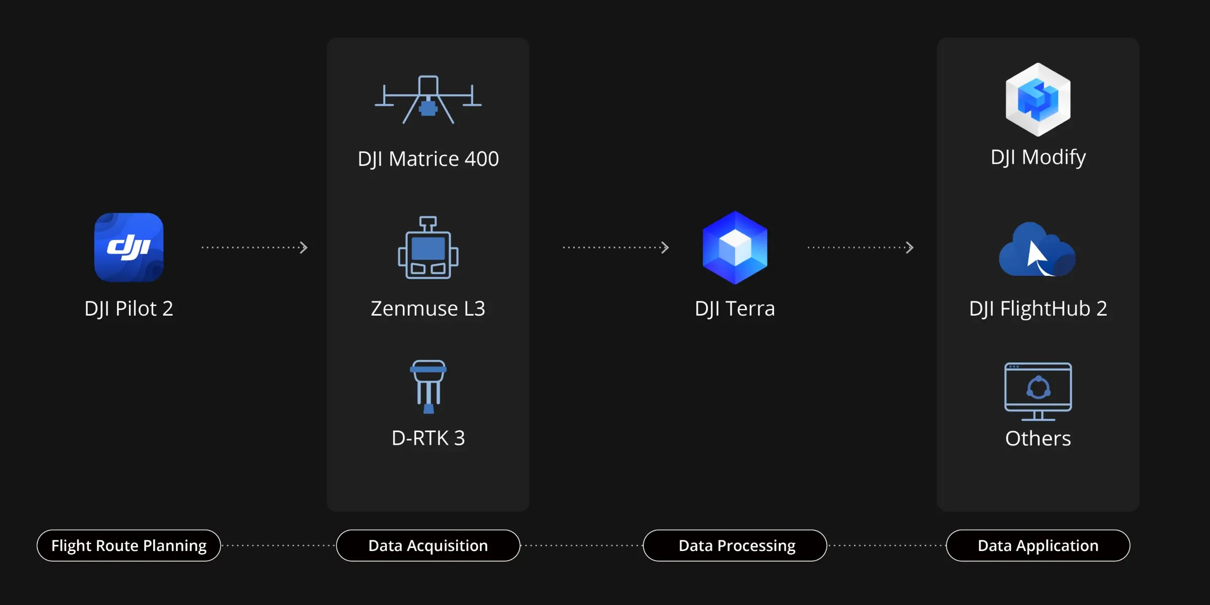
Delivers a complete workflow covering data capture, processing, and application.
If you have any questions, you are always welcome to contact us. We'll get back to you as soon as possible, within 24 hours on weekdays.
-
Shipping Information
We offer reliable shipping across the United States. Orders over $599 qualify for free standard shipping.
Shipping options and estimated delivery times are shown at checkout and may vary by product and destination.
Products containing lithium-ion batteries may be subject to special shipping and carrier requirements.
For large equipment or enterprise orders, please contact our sales team for shipping assistance.
-
Customer Support
Need help choosing the right product, checking an order, or troubleshooting a product?
Our team can assist with product selection, order status, shipping, warranty, technical support, and general product questions.
Sales & Product Inquiries
Phone: +1 (888) 356-6818
Email: sales@droneroboticstec.comTechnical Support
+1 (888) 356-6818 Ext. 804 — Christopher
+1 (888) 356-6818 Ext. 806 — LucasWorking Hours
Mon–Fri: 9:00 AM–5:00 PM PST -
Contact Us
Have a question before placing an order?
Contact our sales team for product recommendations, availability, pricing, enterprise solutions, and bulk orders.
Sales Team
Phone: +1 (888) 356-6818
Email: sales@droneroboticstec.comFor enterprise, commercial, bulk, or dealer inquiries, we're happy to help you find the right solution.
DJI's First Long-Range, High-Accuracy Aerial LiDAR System
Zenmuse L3
See Through, Far and True
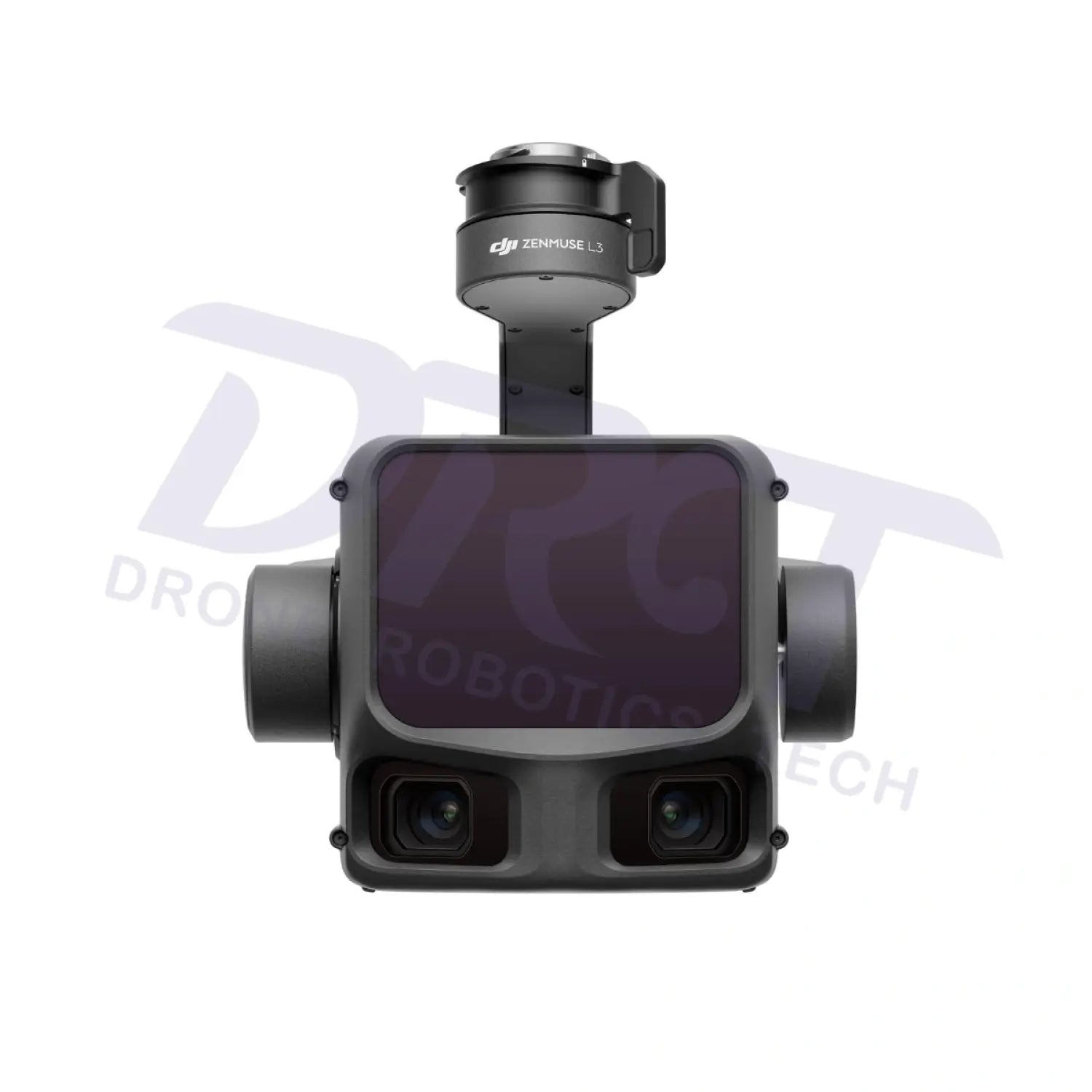
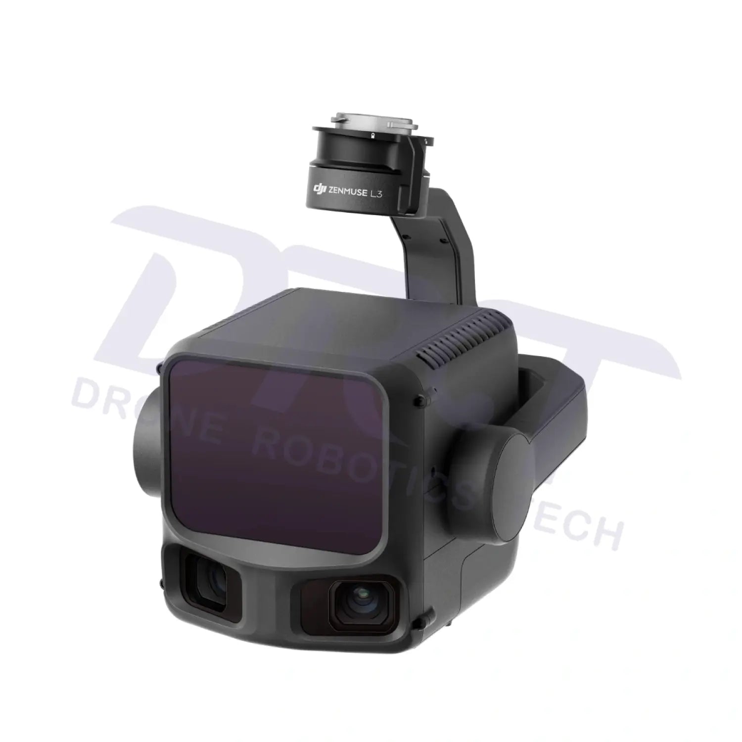
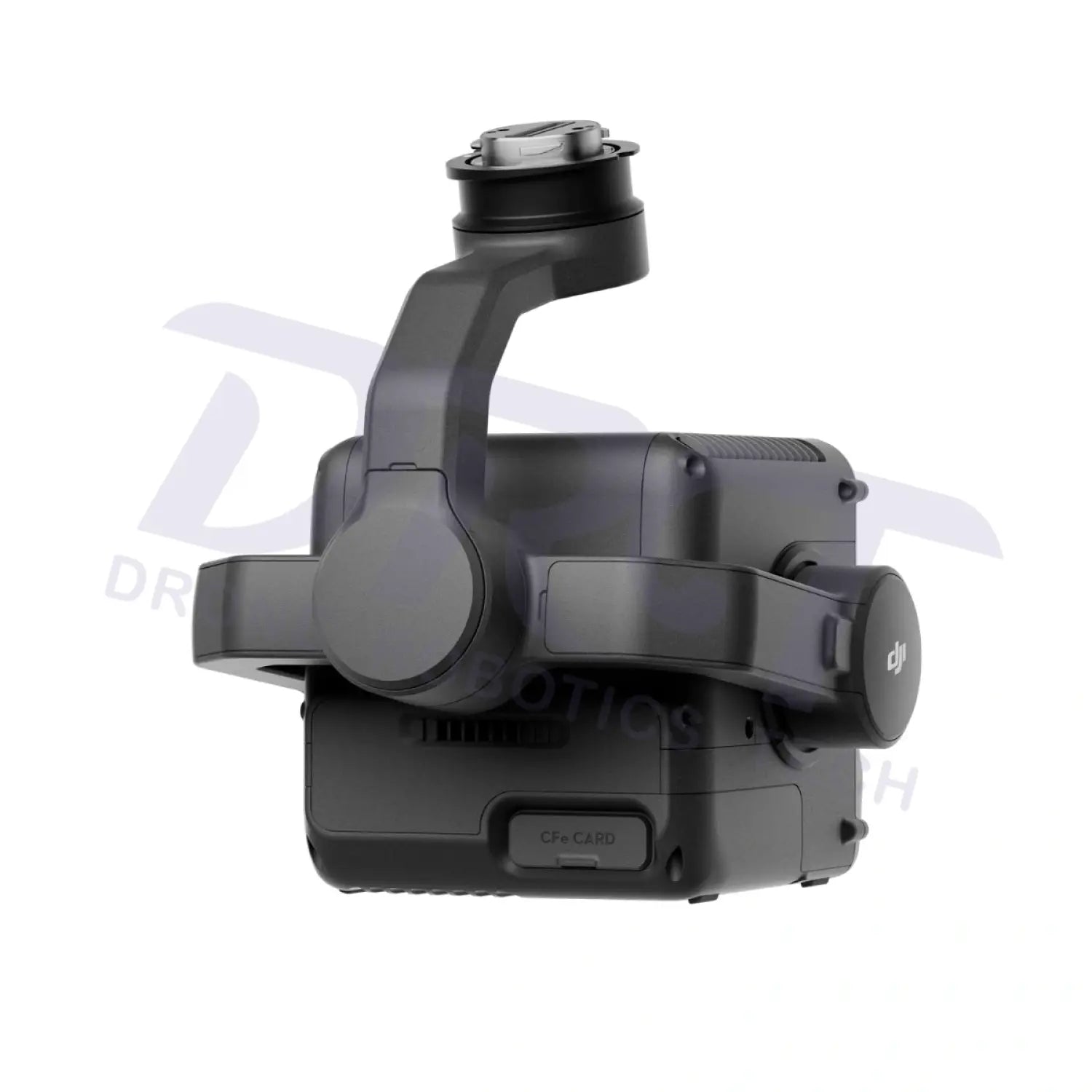
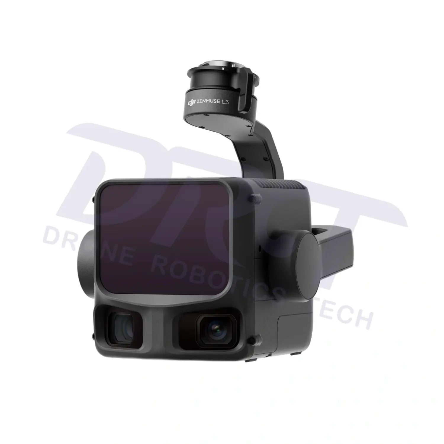
The DJI Zenmuse L3 is DJI’s next-generation aerial LiDAR solution built for high-precision mapping, surveying, and industrial inspection. Integrating a long-range LiDAR module, dual 100MP mapping cameras, and a high-accuracy IMU system, the L3 enables professionals to capture dense point clouds and high-resolution imagery in a single flight—dramatically improving efficiency and data reliability.

Key Features
Long-Range, High-Accuracy LiDAR
Equipped with a 1535 nm laser, the Zenmuse L3 delivers a maximum detection range of up to 950 meters (10% reflectivity), capturing fine details such as power lines and vegetation structures with exceptional accuracy.
Dual 100MP Mapping Cameras
Featuring dual 4/3 CMOS RGB cameras with mechanical shutters, the L3 captures ultra-high-resolution imagery with up to 3 cm GSD, ensuring accurate colorized point clouds and detailed orthophotos.
High-Density Point Cloud & Multi-Return Capability
Supports up to 2 million points per second and multiple return signals, enabling strong ground penetration in dense vegetation and complex urban environments.

Survey-Grade Accuracy
- Vertical Accuracy: up to 3 cm (at an altitude of 120m)
- Horizontal Accuracy: approx. 4 cm (at an altitude of 120m)
Ideal for mapping projects requiring 1:500 to 1:2000 scale precision.
Exceptional Operational Efficiency
Cover up to 100 km² per day, significantly reducing field time and labor costs for large-scale projects.
End-To-End Solution
Zenmuse L3 seamlessly integrates with DJI's ecosystem to deliver an end-to-end mapping solution. From data acquisition and processing to application, this unified workflow is simpler to operate and easier to master than traditional multi-platform setups, helping users efficiently complete a wide range of mapping tasks.
Seamless DJI Enterprise Ecosystem
Fully compatible with:
- DJI Pilot 2 (mission planning & flight control)
- DJI Terra (data processing & modeling)
- DJI FlightHub 2 (cloud-based fleet management)
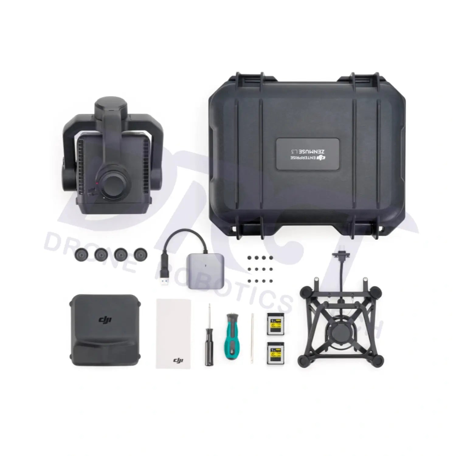
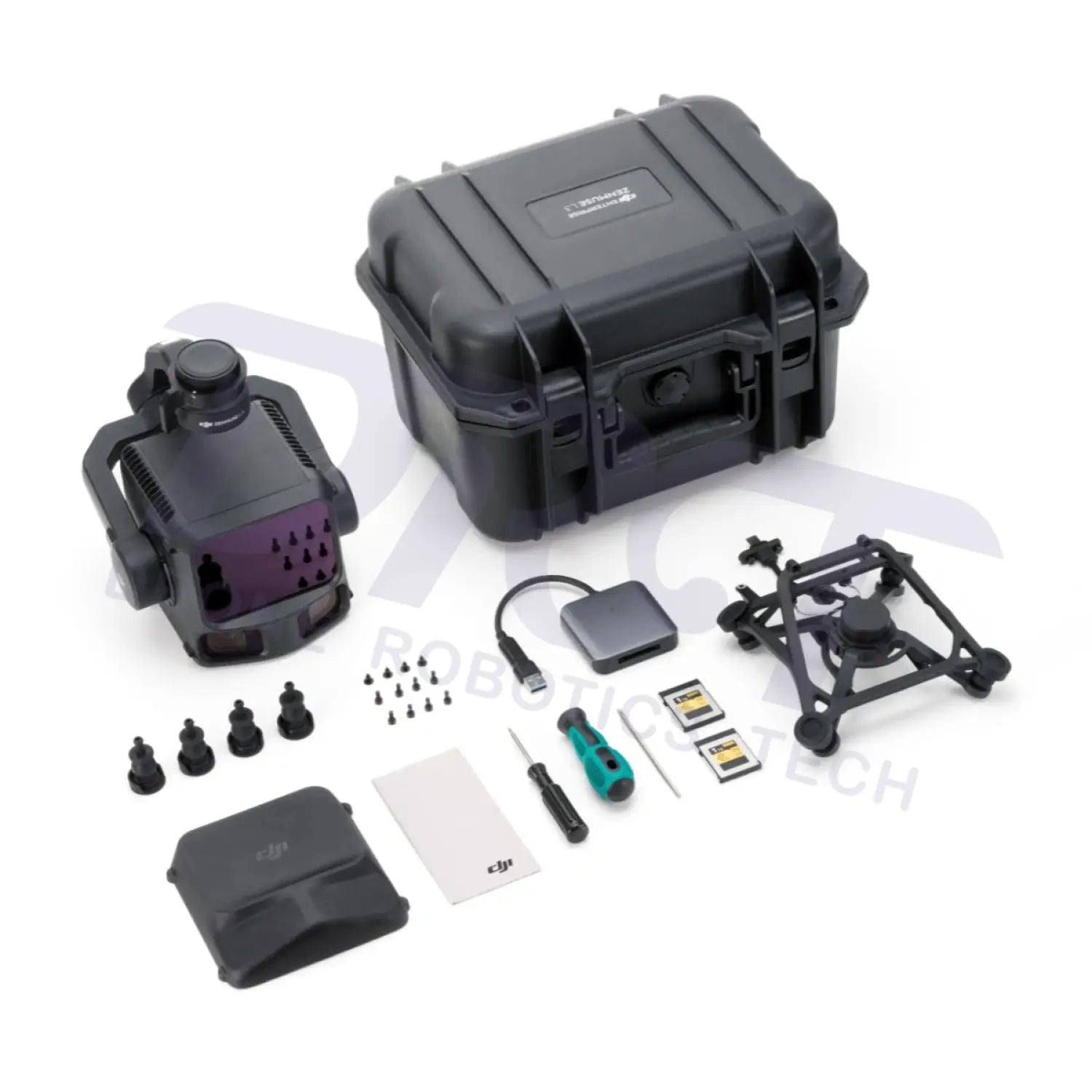
In The Box
